
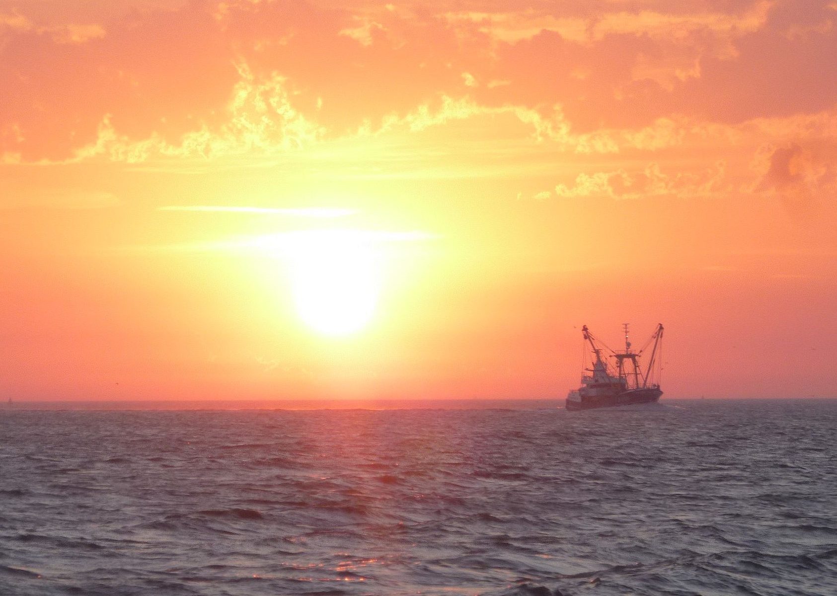
Building up a scientific basis for negotiating fisheries measures in the Belgian part of the North Sea is the task of the VISNAT2 project. The ultimate goal is to protect as much valuable seabed as possible, without harming important economic activities such as fishing.
The European Habitats Directive and the Marine Strategy Framework Directive (MSFD) require Belgium to define areas to protect certain underwater habitats. More specifically, these are shallow sandbanks (Habitat 1110) and beds of gravel and shellfish (Habitat 1170). It is essential for the protection of these habitats that bottom disturbance caused by human activities (e.g. fishing) is excluded. The search for the best location for these protected areas seeks to maximise ecological value but also to minimise economic impact. In other words, we want to protect as much as possible without damaging important economic activities, such as fishing.
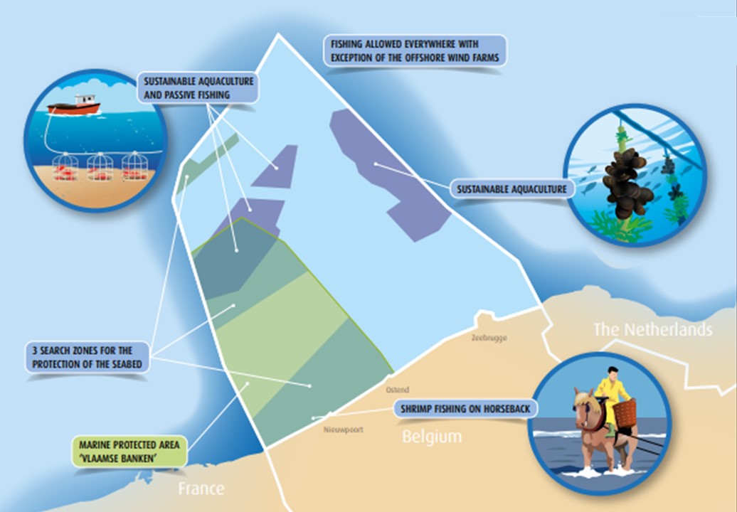
For the time being, 3 search zones have been demarcated in the Marine Spatial Plan. It is now up to researchers to identify the most ecologically valuable zones within these areas. This is done on the basis of an evaluation of biological data. For each of the zones, the economic importance for all Member States with fishing interests is calculated simultaneously. Data from both research lines will feed the MARXAN spatial planning tool. Through this tool 4 scenarios with proposals for bottom protection areas with fisheries measures will be developed, where the ecological value is high and the economic impact as low as possible.
In order to make this process possible, four essential research tasks are being carried out together with the Research Institute for Agriculture, Fisheries and Food (ILVO):
- An update of the habitat suitability map for macrobenthos – invertebrates living in the seabed – and of the biological assessment map, which will allow the delimitation of the most ecologically valuable areas.
- An update of the fishing activity of the different Member States active in the Belgian part of the North Sea, necessary to map the most economically valuable zones for fishing.
- A risk analysis concerning the sensitivity of different habitat types to bottom-impacting fisheries.
- A demarcation of potential zones for fisheries measures based on the previous information and using the MARXAN spatial planning tool.
The aim of this project is to build up a scientific basis for the negotiation of fisheries measures in the Belgian part of the North Sea, as laid down in the Marine Spatial Plan. These negotiations will be conducted with Flanders and with the European member states, in order to present a Delegated Regulation for the European Commission. Such a Delegated Regulation contains rules that give further substance to previously adopted legislation, in this case in function of the protection of marine areas.
Project : VISNAT2
Duration : 2020-2021
Financing : FPS Health, Food Chain Safety and Environment
Collaboration : Reseach Institute for Agriculture, Fisheries and Food (ILVO)
Contact : Gert Vanhoey (gert.vanhoey@ilvo.vlaanderen.be), Steven Degraer (sdegraer@naturalsciences.be)
Text : Sofie Vandendriessche (ILVO) – Kelle Moreau (RBINS)