
Satellite data are increasingly used in applications such as water turbidity mapping (important for aquatic organisms) and understanding sediment transport. The atmosphere however is highly variable due to the presence of aerosols, a mixture of tiny particles that impact satellite images through absorption and reflection of light. Hence, an atmospheric correction is essential before using the satellite data. In a new paper by Quinten Vanhellemont, researcher of the Operational Directorate Natural Environments (OD Nature) of our institute, a new atmospheric correction algorithm is presented for water applications of high resolution satellite data.
The Dark Spectrum Fitting (DSF) algorithm was developed in the PONDER project, funded by the BELSPO (Belgian Science Policy) Stereo III programme. This project aims to use data from very high resolution satellite sensors such as Pléiades to generate much more detailed information on water turbidity and sediment transport, but it is necessary to first develop a method for processing the images accurately.
Removal of Aerosol Impact from Satellite Images
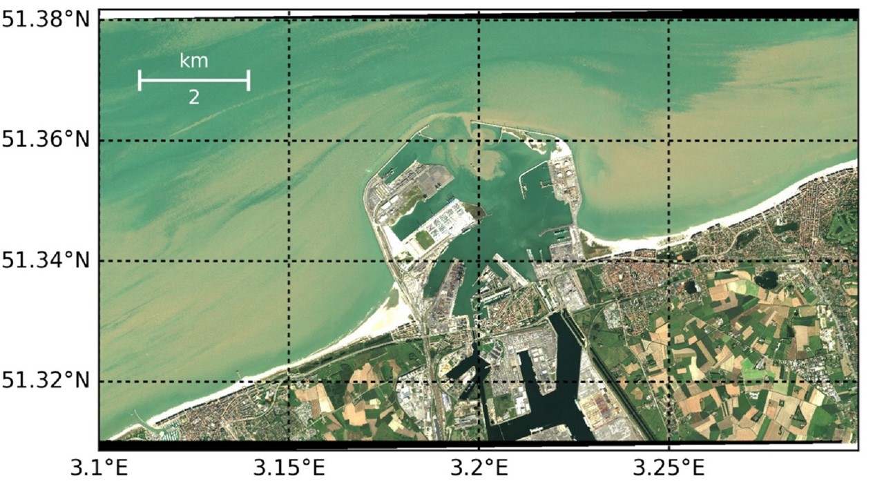
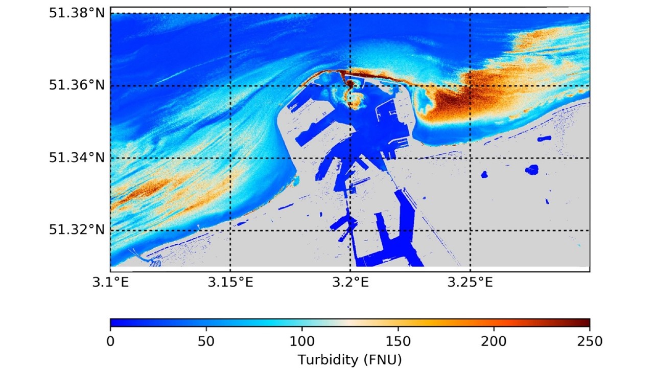
After selecting dark pixels in a satellite scene, the Dark Spectrum Fitting algorithm uses those to estimate the atmospheric aerosols. Thanks to the high spatial resolution of Pléiades, this method can retrieve high resolution maps of the aerosol distribution by using ground level object shadows. The application of the DSF to Pléiades imagery with a ground resolution of 2 m is presented, allowing the retrieval of high resolution turbidity and suspended sediments in and around the port of Zeebrugge.
Additional Uses
The Dark Spectrum Fitting algorithm has also been adapted for use on data generated by other satellites, notably Landsat and Sentinel-2, and has been distributed as the default algorithm in ACOLITE for those satellites since April 2018. ACOLITE is the software for analysis and interpretation of satellite imagery, and was also developed by Quinten at the Royal Belgian Institue of Natural Sciences. A paper describing the adaptation and validation of the DSF to Landsat and Sentinel-2 is in preparation.