Anyone who is concerned with the sustainable management of the Belgian part of the North Sea or wants to stay informed about the North Sea policy can now visit northseabelgium.be. The website summarises the latest developments in policy and scientific research, and is an initiative of the Minister of the North Sea and the federal government services that are active around our eleventh province.
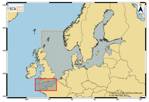
With an area of 3,452 km² and a coastline of 67 kilometers, the Belgian part of the North Sea is a small marine area, but one with big ambitions. It is our 11th province and essential for the future of our country.
Among other things, Belgium is pioneer in marine spatial planning, with its efforts to generate sustainable energy at sea and to reduce the environmental impact of shipping, and actively works to integrate opportunities for nature restoration and development within all human activities at sea. We have a lot to be proud of and can rightly call ourselves a Blue Leader.
In developing the Belgian North Sea policy, several federal government services and their various partners are involved. They each report on their activities and achievements via their own websites and other communication channels, whereby the overview for interested parties and those involved is often lost.
At the initiative of and in collaboration with the Minister of the North Sea, the Scientific Service ‘Management Unit of the Mathematical Model of the North Sea (MUMM, Institute of Natural Sciences), the Marine Environment Service (Federal Public Service Health, Food Chain Safety and Environment) and the Directorate-General for Shipping (Federal Public Service Mobility and Transport) developed the joint website northseabelgium.be. This website provides clear information on the latest news regarding Belgian North Sea policy and scientific research, and on the services and activities of the services involved.
Three blue themes
The news, services and activities are organized within three themes: Blue Nature, Blue Shipping and Blue Economy.

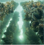
Blue Nature – Our Belgian North Sea is our country’s largest nature reserve, home to a vibrant and rich biodiversity of animal and plant species, and the unique underwater landscape of the Flemish Banks. The sustainable management and protection of marine blue nature is essential for the prosperity and well-being of both present and future generations. We are fully committed to the conservation, restoration and development of blue nature at national, European and international level. Attention is paid to nature in protected areas as well as within the concession zones for various human activities.
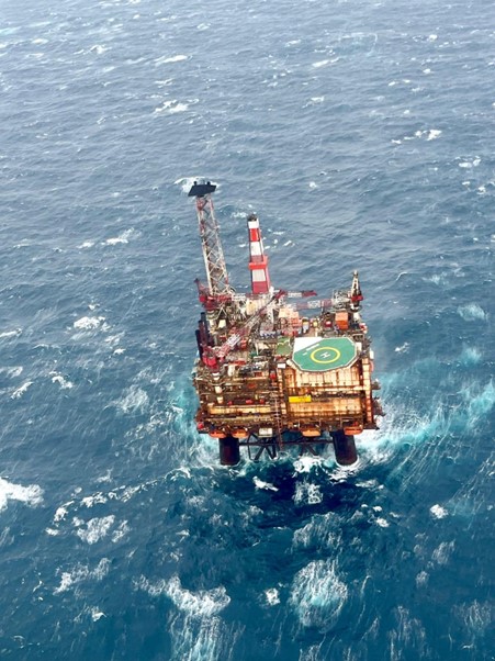
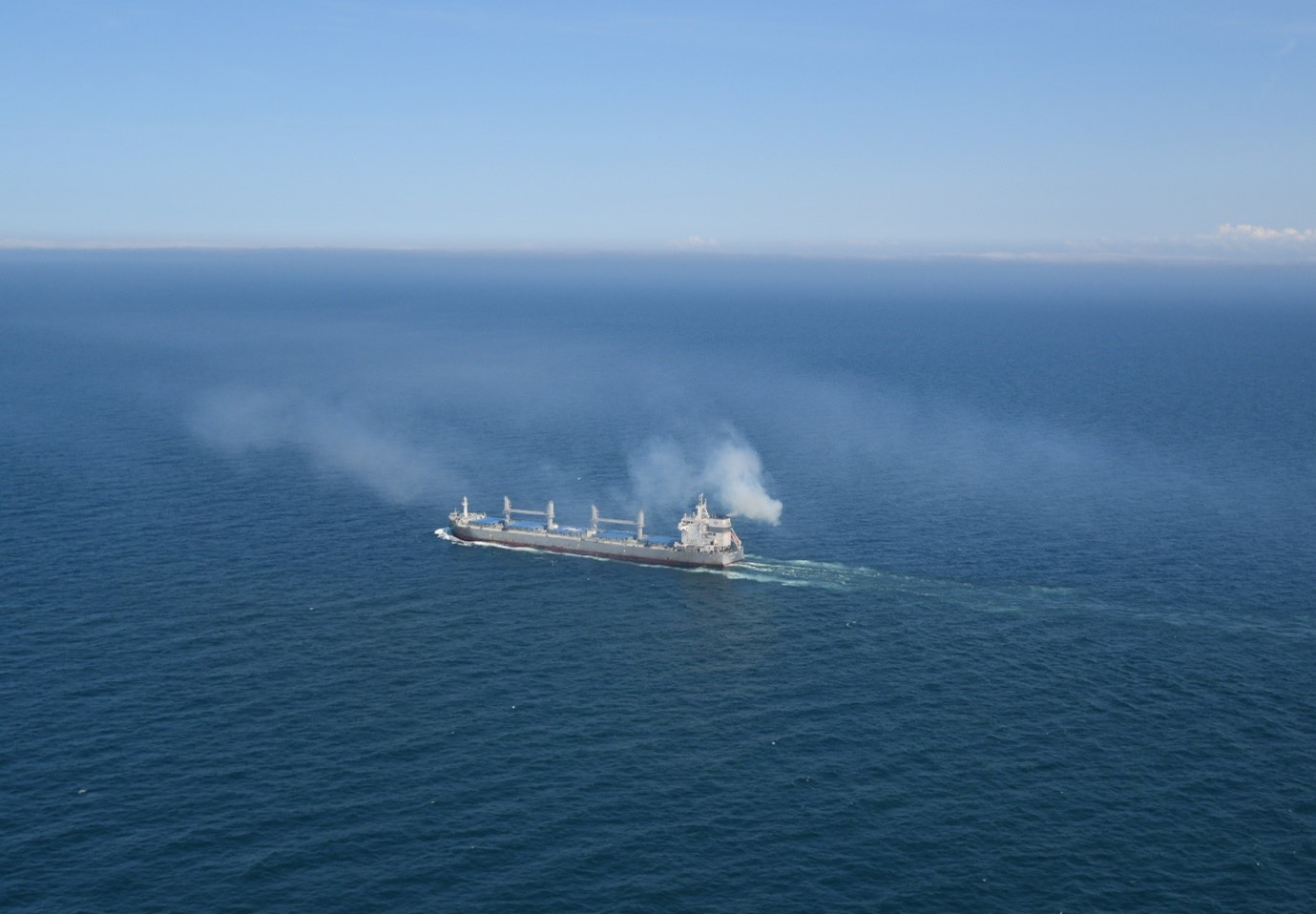
 Blue Shipping – The Belgian part of the North Sea is on the approach route to our own and foreign seaports, making it one of the busiest sea areas in the world. Within the International Maritime Organisation (IMO), we take an ambitious position on reducing shipping emissions. However, Blue Shipping stands for much more, as we also work around waste management, essential resources on board, seafarers’ welfare and working conditions, safety at sea, maritime security, regulations for workboats and fishing vessels, and the sustainability of fisheries, among others. Pleasure boating also receives due attention.
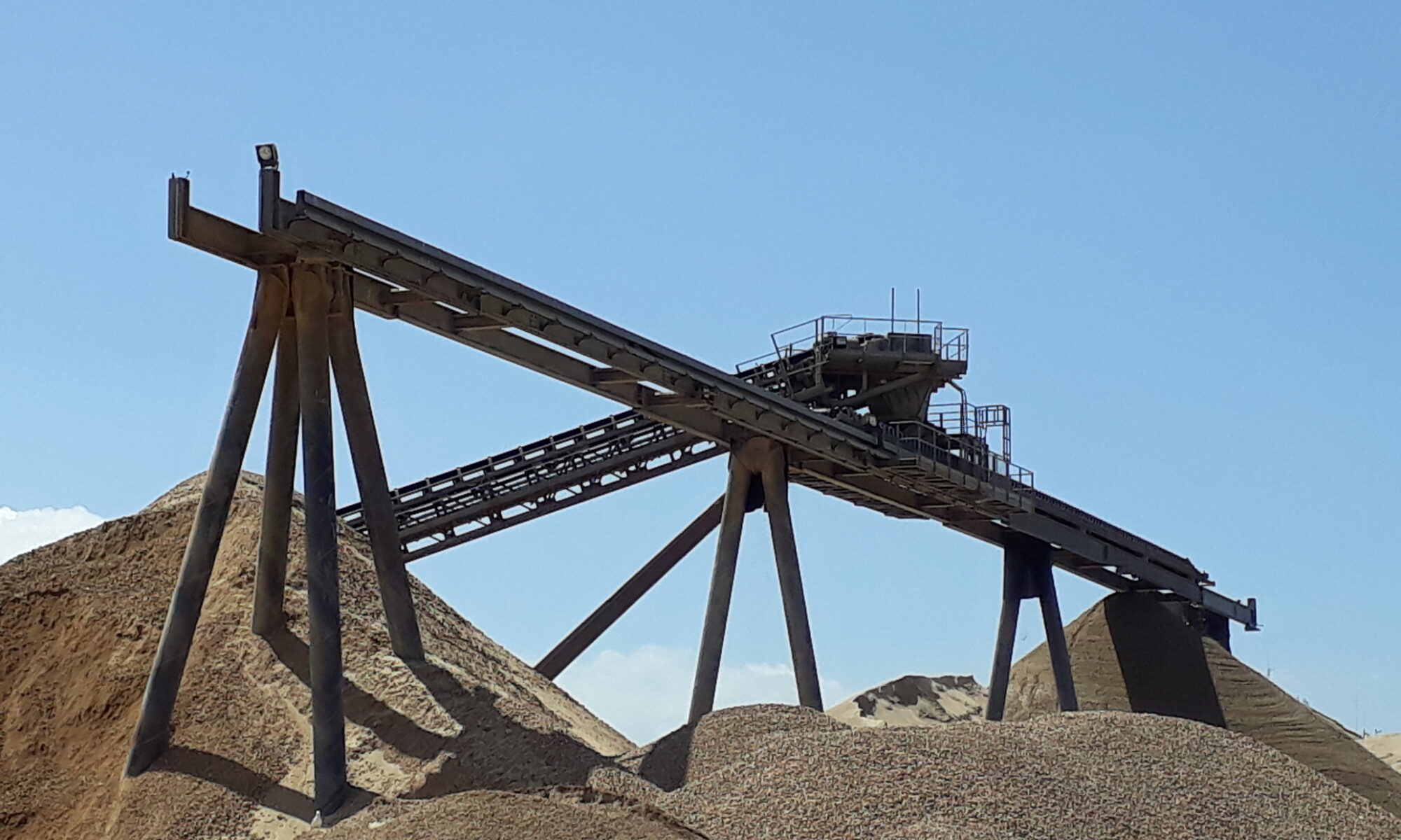
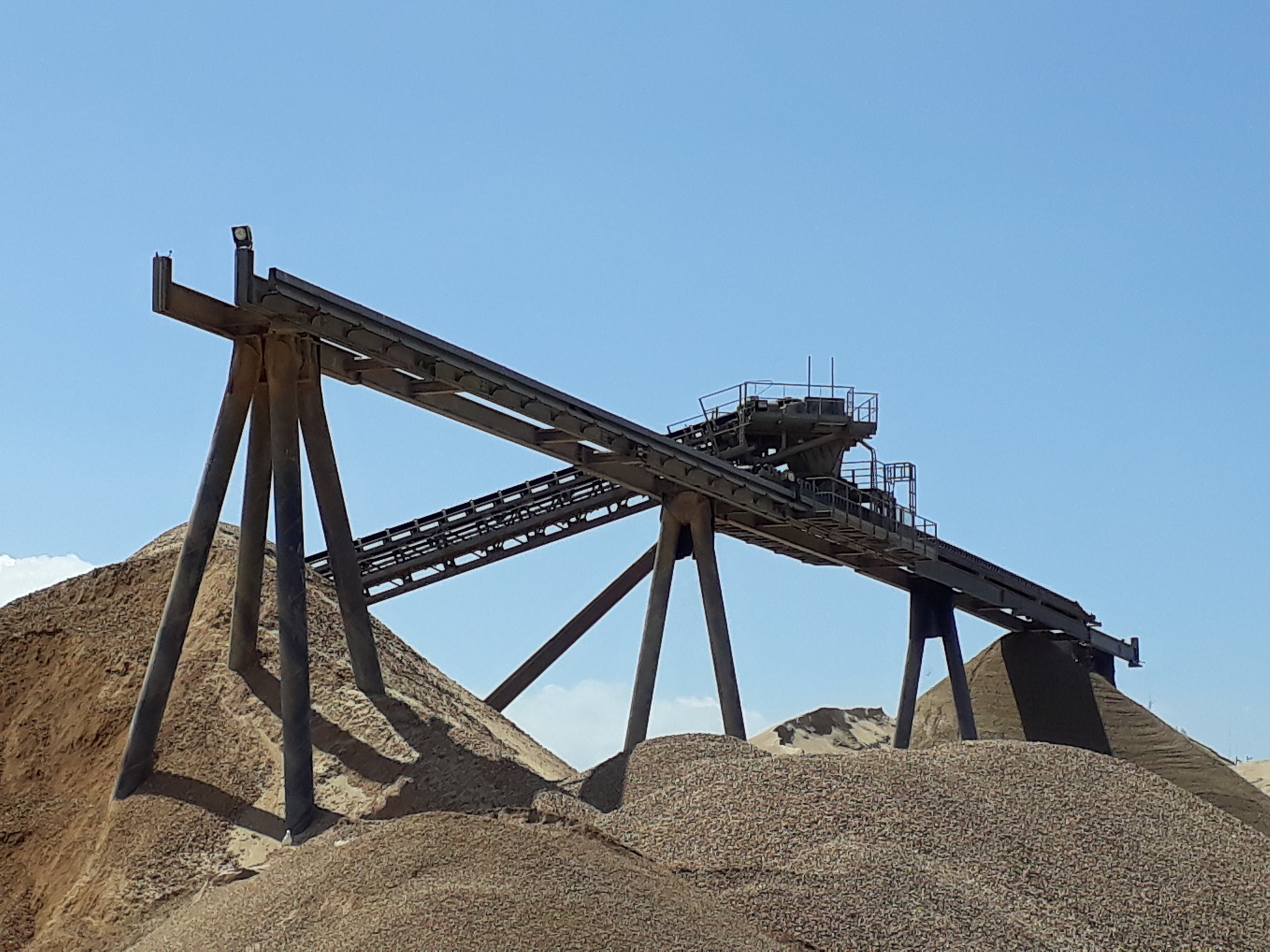
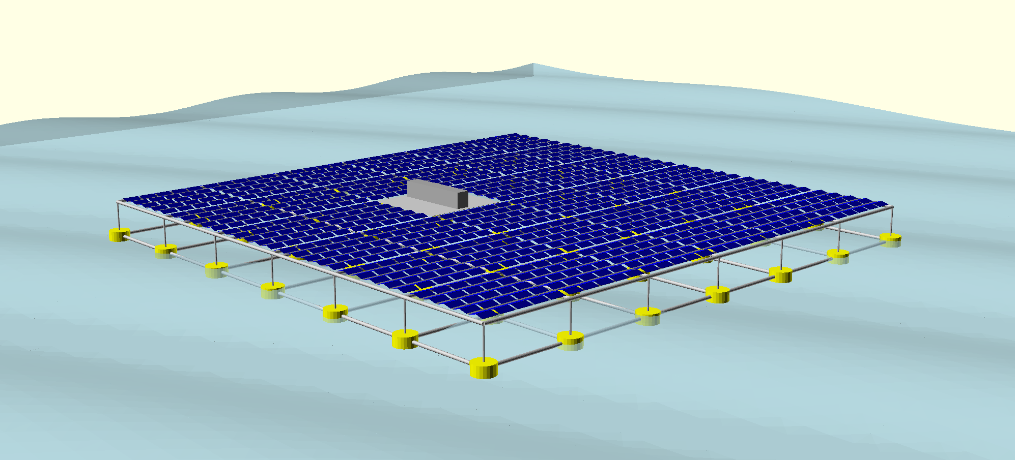
 Blue Economy – Energy production, fishing, aquaculture, sand and gravel extraction, disposal of dredge spoil, … the Belgian North Sea has many other functions and users besides nature conservation and shipping! The marine spatial plan 2020-2026 determines which activities can be developed safely and with respect for nature, in which location and under what conditions, and where activities can be combined. The protection of underwater heritage (e.g. shipwrecks) and the installation of various measuring infrastructure (buoys, measuring poles, radars) also receive attention, military training areas are provided, and the management and clearance of the Paardenmarkt ammunition dump is examined.
North Sea: small sea, big ambitions
The launch of northseabelgium.be emphasises the power of cooperation between various federal North Sea services and is an important step in strengthening public awareness of the Belgian North Sea policy. The platform is an invitation to everyone – from policy makers to citizens, from companies to scientists – to be part of the sustainable future of our North Sea. In addition, digital information packages are also offered for secondary school pupils, to make young people aware of the importance of our North Sea. Visit the website and discover how we are building a balanced, innovative and sustainable future for our 11th province together.
Minister of the North Sea Paul Van Tigchelt: “Our North Sea is an invaluable source of nature, energy and innovation. Belgium is a global leader in the field of nature conservation, blue shipping and the blue economy. This success is due to close cooperation and information sharing between the services involved in North Sea policy, which is essential for achieving our ambitious goals. With northseabelgium.be we are taking an important step in strengthening transparency and cooperation, and we are demonstrating our leadership role in the sustainable development of the North Sea.”