![]()
Ocean observing and forecasting are critical to underpin any ocean-related activity, from science to blue economy, from management to ocean-human interactions. Despite the ocean’s paramount importance to society, there are fundamental gaps in today’s ocean observing and forecasting systems, limiting our capacity to sustainably manage our activities in the ocean. These gaps cannot be filled by individual nations.
Cooperation to Fill the Gap
The project EuroSea supports the European integration of coordinated observations and predictions of the ocean state and variability that can be sustained in the long term. Three innovation demonstrator work packages focus on operational services, ocean health and climate.
EuroSea Vision : Advancing Research and Innovation towards a user-focused, truly interdisciplinary and responsive European ocean observing and forecasting system, that delivers the essential information needed for human wellbeing and safety, sustainable development and blue economy in a changing world.
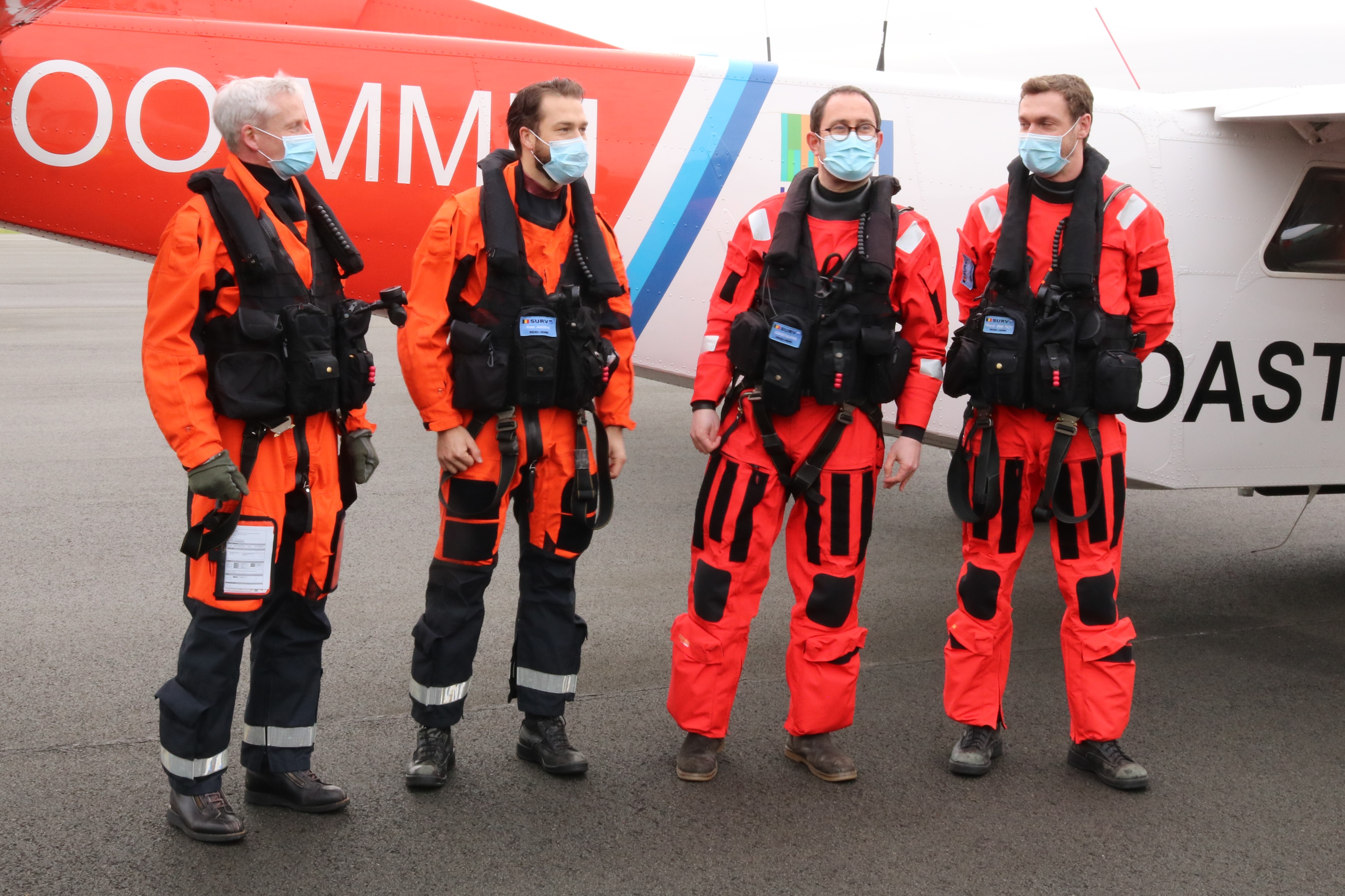
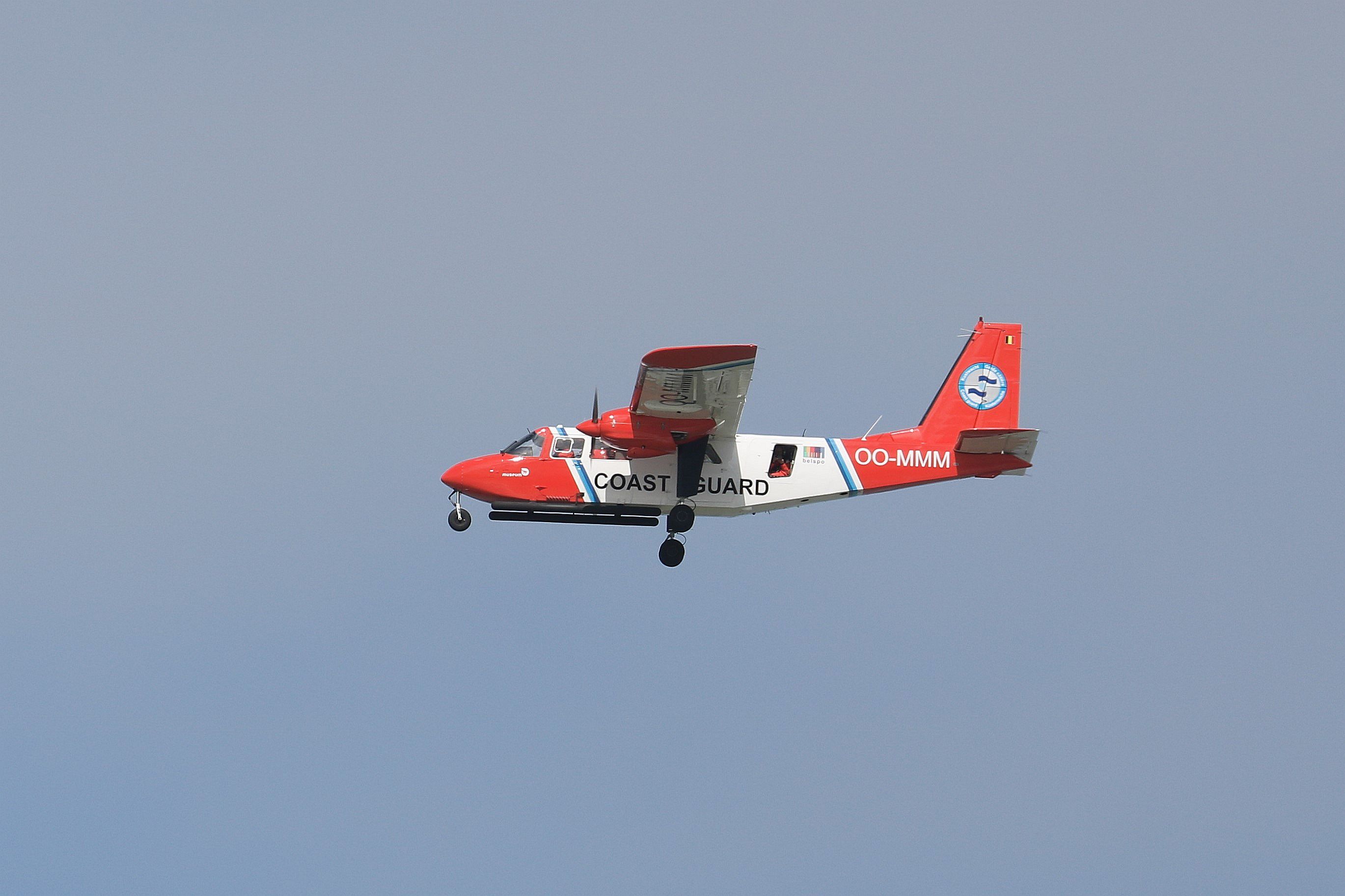
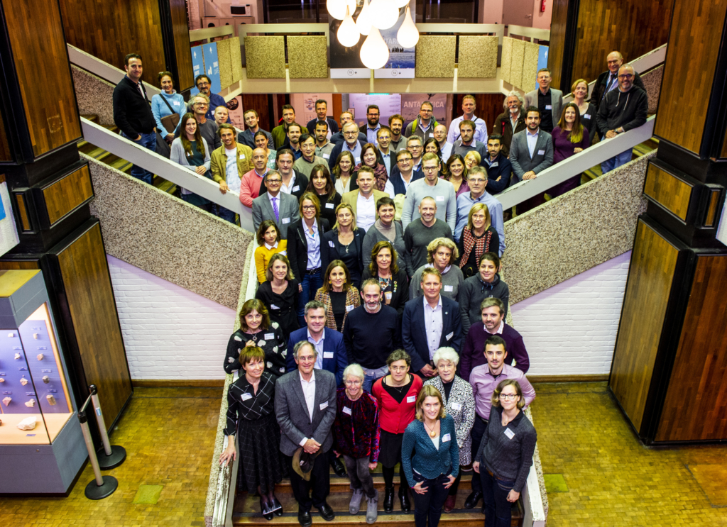
EuroSea is an EU Innovation Action titled “Improving and Integrating European Ocean Observing and Forecasting Systems for Sustainable Use of the Oceans” and is part of “The Future of Seas and Oceans Flagship Initiative” funded through the Horizon 2020 Blue Growth call (BG-07-2019-2020). The project brings together key European actors of ocean observation and forecasting with key end users of ocean observations. An interdisciplinary consortium of 55 partners is working together for 50 months and is allocated a budget of almost € 12.6M. The project is coordinated by GEOMAR Helmholtz Centre for Ocean Research Kiel, Germany. The kick-off (1st EuroSea Annual Meeting) took place at the Royal Belgian Institute of Natural Sciences (RBINS) in Brussels on 27-29 November 2019, organized by GEOMAR, RBINS and EuroGOOS. RBINS is active in the work package ‘Communication: Engagement, Dissemination, Exploitation and Legacy’ that has, among others, produced the EuroSea Communication Plan (coordinated by EuroGOOS, RBINS and GEOMAR) and the EuroSea Video presented above (coordinated by SOCIB – Balearic Islands Coastal Observing and Forecasting System).
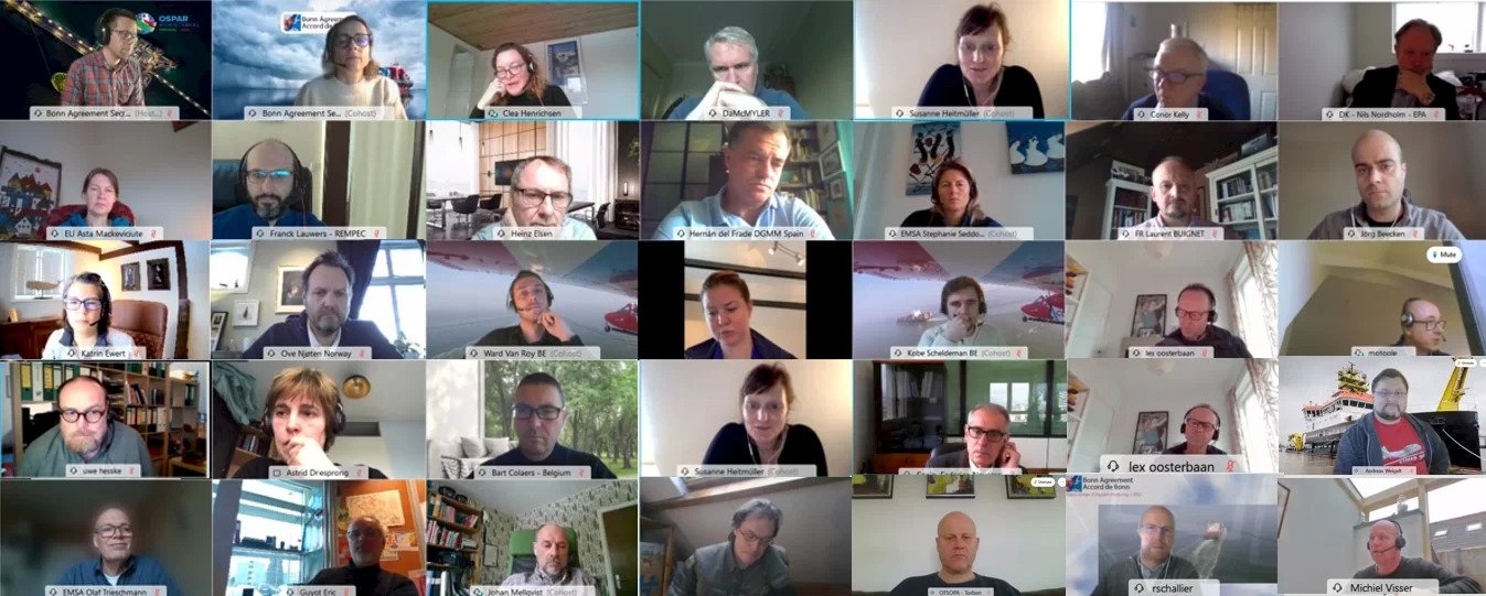
2nd EuroSea Annual Meeting and General Assembly
The (virtual) second EuroSea week ran from 18 to 22 January 2021 bringing together over a hundred experts participating in the project as well as invited speakers from related global and European initiatives.
The European Commission DG Research Innovation shared their aspirations and stressed the important role of EuroSea in helping to improve ocean knowledge and sustainability. The newly established G7 European Office, hosted by Mercator Ocean International in Toulouse, France, shared their plans in relation to the G7 Future of the Oceans and Seas Initiative. Presentations were given from international and European ocean observing coordination programmes and initiatives including the Global Ocean Observing System (GOOS) – programme under the UNESCO-IOC, the Integrated Marine Observing System (IMOS) – the GOOS Regional Alliance in Australia, and the European Ocean Observing System framework led by EuroGOOS and the European Marine Board.
The EuroSea work packages presented the progress made during the first 14 months of the project, aiming at better coordinating European ocean observing and forecasting. Special emphasis was made during the week on the EuroSea impact assessment. The protocol put forward by leaders of work packages 1 (governance) and 8 (engagement, dissemination, exploitation & legacy) consists of determining key EuroSea impact areas and developing a pathway to analyze impacts within each of them, which are possible to measure or to illustrate. EuroSea impacts span coordination, decision support, science, and operational services, with many innovations planned along the way. The best practices collected during the project will be transferred to the global oceanographic community through the IOC Ocean Best Practices System.
Diversity and inclusion were another special emphasis of the week, with the EuroSea Gender and Diversity Board presenting the first results of both an institutional and a personal survey of the EuroSea partners. At a subsequent thought-mapping session, participants shared the way forward for EuroSea on topics of gender, diversity, career, and culture as linked with the scientific and innovation work of the project and its community.
Four scientific lunches were hosted during the week with seven presentations highlighting a range of EuroSea tasks, from data collection to data products and services or network coordination mechanisms.
10 European projects relevant to the goals of EuroSea were invited to highlight their efforts in flash talks. Collaboration between EuroSea and some of these projects has already been initiated through the European Commission’s Horizon Results Booster service.
The General Assembly concluded the week with the Executive Board elections, plans for the project’s Exploitation Strategy, and a discussion on the recommendations from the EuroSea International Scientific and Technical Advisory Board.

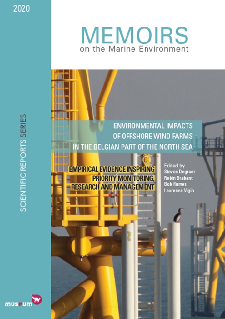
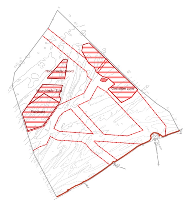
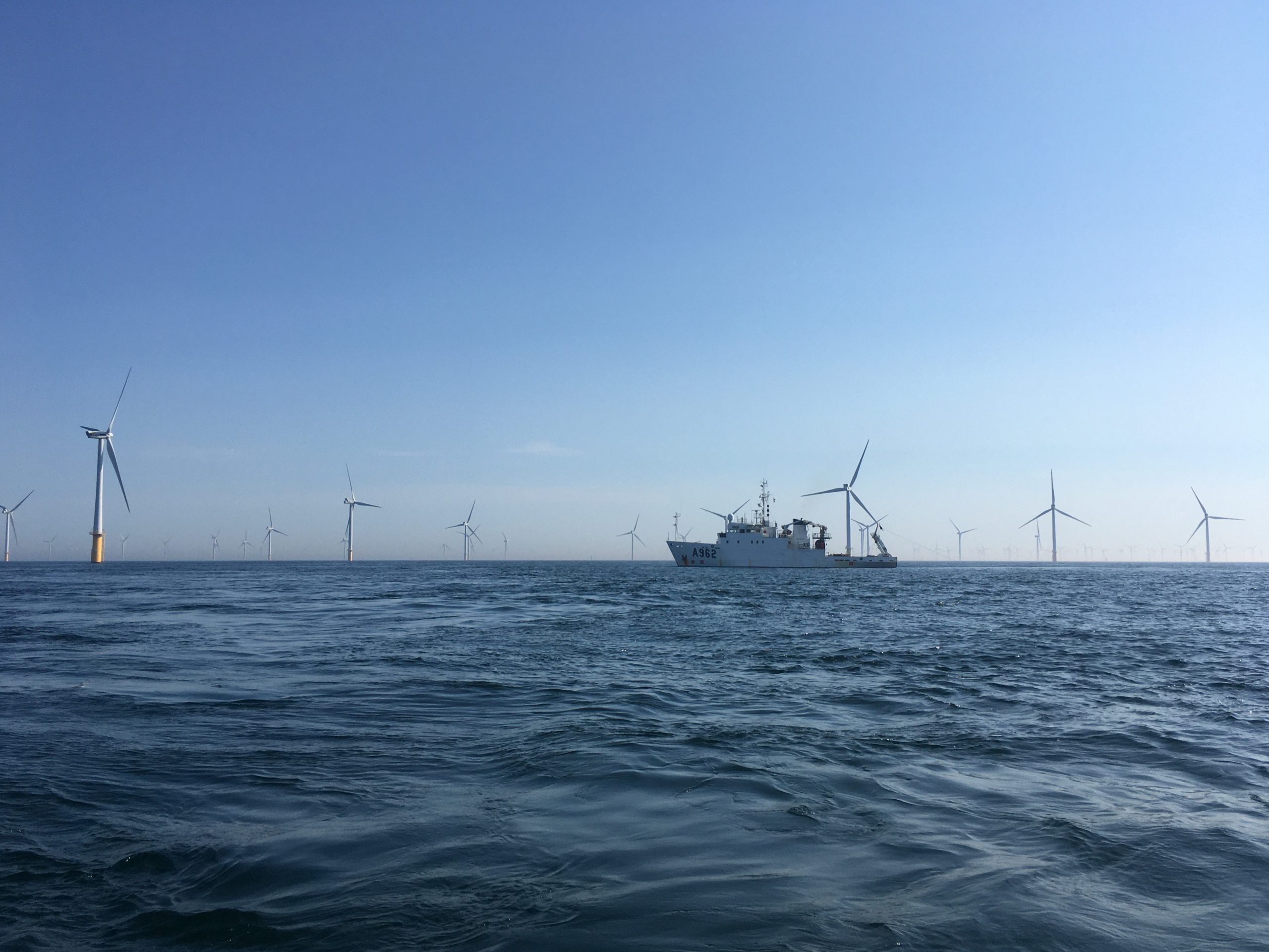
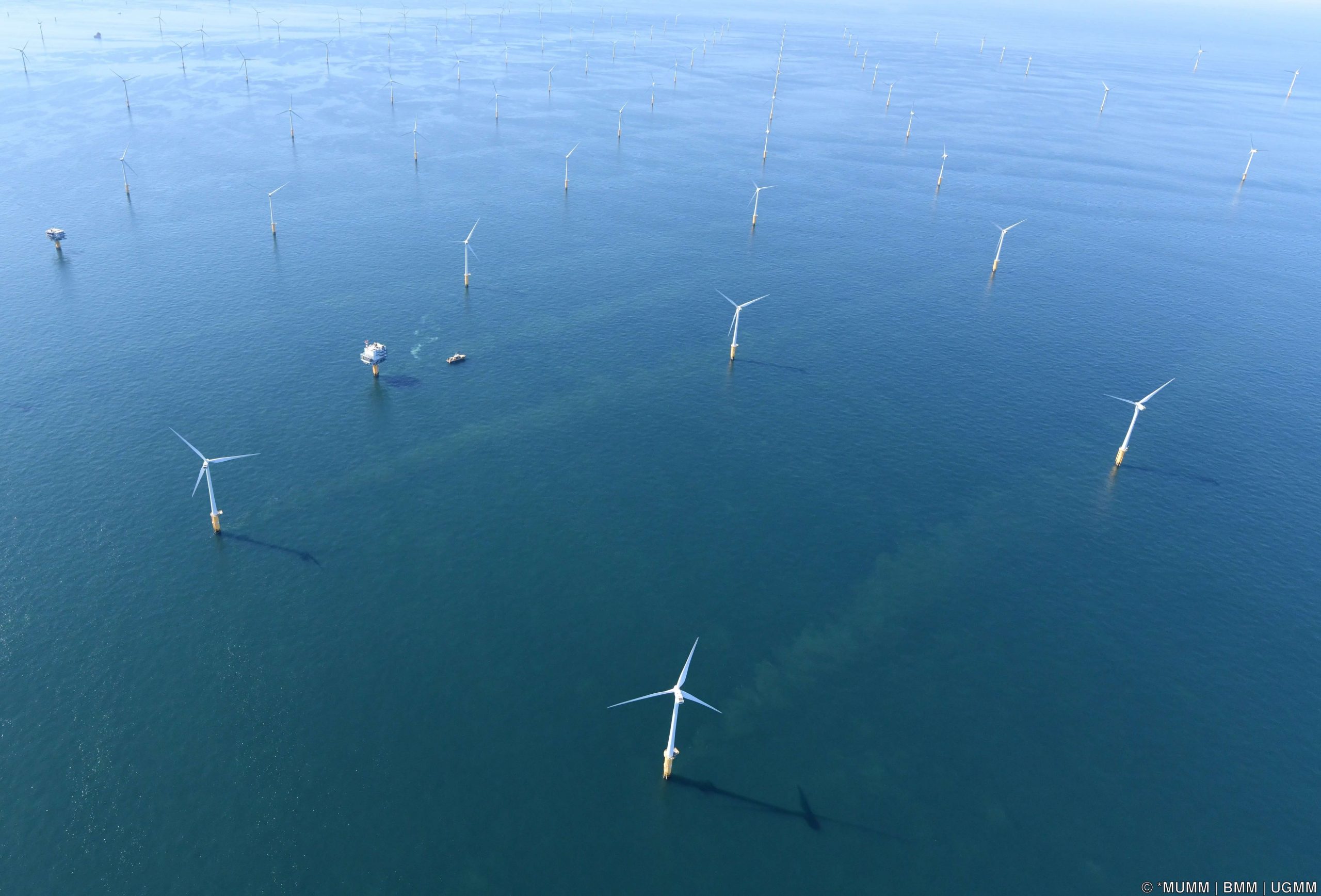
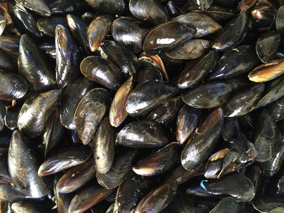
 While Belgium emerged as a world leader in the offshore wind industry, the Belgian scientists that monitor the environmental impact of offshore wind farms have also developed extensive knowledge and expertise. Shortly after the first Belgian offshore wind zone was completed (the world’s biggest to be operational), the monitoring consortium presents its latest conclusions and recommendations in a