Ten innovative EU projects to build ocean observation systems that provide input for evidence-based management of the ocean and the Blue Economy, have joined forces in the strong cluster ‘Nourishing Blue Economy and Sharing Ocean Knowledge’. Under the lead of the EuroSea project, the group published a joint policy brief listing recommendations for sustainable ocean observation and management. The cooperation is supported by the EU Horizon Results Booster and enables the group to achieve a higher societal impact. Today, 15 October 2021, the policy brief was presented to the EU.
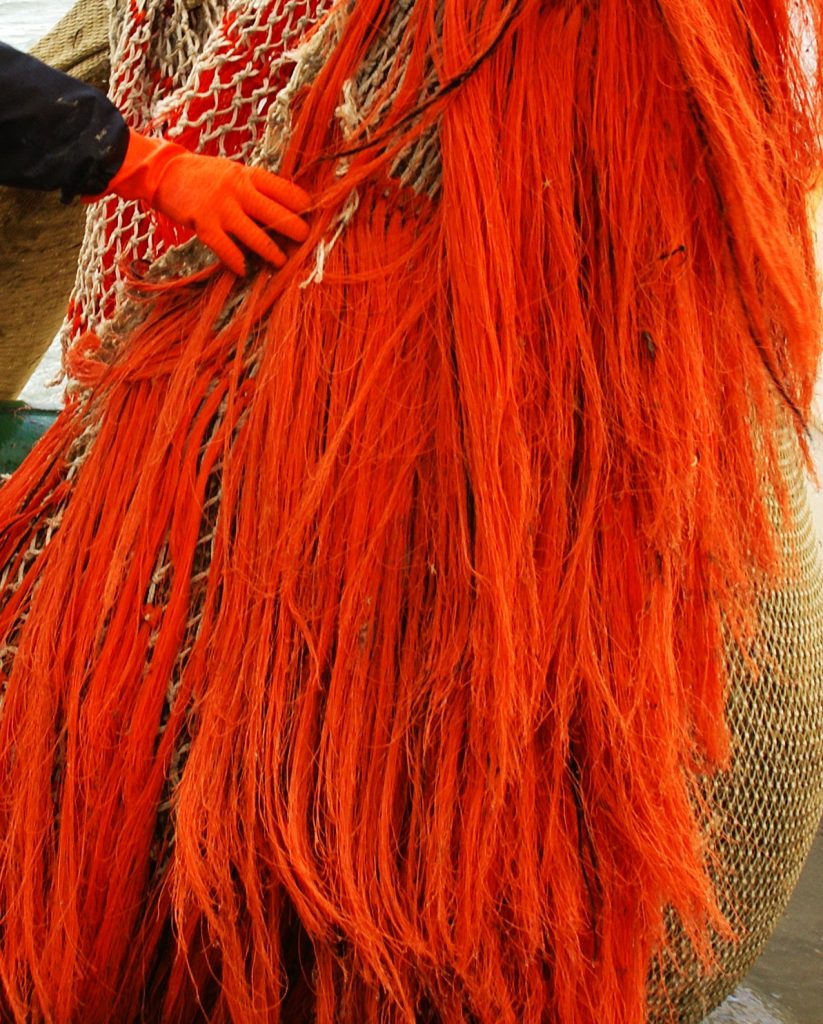
The ocean covers 70% of the Earth’s surface and provides many ecosystem services that we cannot live without or that improve the quality of our lives. Think of the ocean’s role in climate control and providing the air we breathe and the fresh water we drink, but also of seafood, exploitable inorganic resources (such as sand and minerals), renewable energy, shipping, tourism, etc.
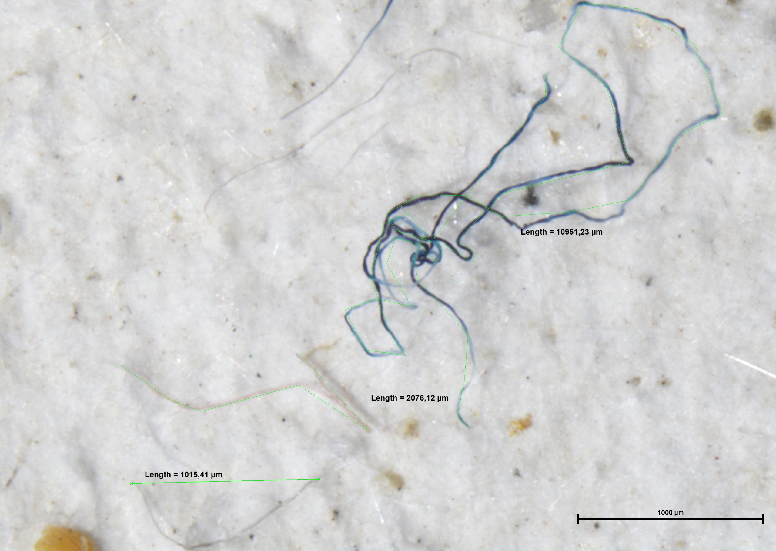
The Blue Economy is estimated to have the potential to further double in size by 2030, but the overall consequences of the intensification of human activities on marine ecosystems and their services (such as ocean warming, acidification, deoxygenation, sea level rise, changing distribution and abundance of fish etc.) are still poorly quantified. In addition, marine data appear fragmented, are inhomogeneous, contain data gaps and are difficult to access. This limits our capacity to sustainably manage the ocean and its resources.
Joining forces in Europe
Consequently, there is a need to develop a framework for more in-depth understanding of marine ecosystems, that links reliable, timely and fit-for-purpose ocean observations to the design and implementation of evidence-based management decisions.
 To provide input to the future establishment of such a framework, ten innovative EU projects to build user-focused, interdisciplinary, responsive and sustained ocean information systems and increase the sustainability of the Blue Economy, joined forces in a strong cluster to better address key global marine challenges. Under the lead of the EuroSea project, the group translated its common concerns to recommendations and listed these in the joint policy brief ‘Nourishing Blue Economy and Sharing Ocean Knowledge. Ocean Information for Sustainable Management.’.
By speaking with one voice, the 10 projects jointly strive to achieve goals set out in the EU Green Deal, the Paris Agreement (United Nations Framework Convention on Climate Change) and the United Nations 2021-2030 Decade of Ocean Science for Sustainable Ocean Development.
Toste Tanhua, EuroSea coordinator, GEOMAR: “It was great to collaborate with the other innovative projects and make joint recommendations based on different perspectives and expertise. Together we aim to concretise the value of our scientific and innovative activities so that they can achieve a high social impact”.
The full policy brief can be downloaded here, the recommendations are summarized below.
Recommendations
- Create a European Policy Framework for Scientific Ocean Observations Long-term Funding
Both continued observations and improved biological understanding are needed to capture the full range of ocean variability, and assess oceanographic change, its ecological implications and potential impact on humanity. The observation and data delivery mechanisms should be seen as research infrastructure, which require sustainable and adequate funding. Ideally, the outcome would be a framework directive on ocean observations, that would ensure a sustainable support and better coordination of ocean observing and ocean information delivery efforts across Europe.
- Support the Professionalisation of the Next Generation of ‘Blue Staff’
The growing Blue Economy will need more highly qualified and skilled professionals, with the Blue Digital Transformation also requiring new skills and competencies. Targeted training programmes for researchers need support. The next generation of “Blue Staff” should also be enriched by expanding efforts to increase participation of less equipped countries, attract more women, encourage young people, spread good scientific practices, facilitate exchange of personnel and attract new users to using infrastructures. This will increase employability in the both the academic and industrial marine sectors.
- Transform Data into Knowledge by Investing in IT Observations
The combination of different technologies, which collect different kinds of data, will enable to fill in gaps in knowledge and understanding of the Blue Sector dynamics in terms of ecology, biodiversity, sensitivity to climate change and the potential for sustainable exploitation of ocean resources. Therefore, it is crucial to develop emerging technologies that study and analyse the ocean in greater detail, such as integration of modular marine low-cost sensors in existing Earth Observation Systems, promotion of Internet of Things, exploitation of Artificial Intelligence and Machine Learning tools, and promotion of European High Performance Computing emphasizing on cloud data storage.
- Define Global Standards and Interoperability Practices
The oceanographic community is already developing data standardisation and interoperability, but a more formalised framework is required. This will increase data quality levels and ensure more efficient and sustainable use of ocean data and information. A systemic approach towards interoperability and shared (cross-disciplinary) metadata policy is needed. It should not matter where you submit your data to be able to harvest and multiply its impact globally while keeping provenance tracked.
- Strengthening Citizen Science for Policy, Equitable Access, Democratization and Critical Data Contributions
Citizen participation in decision-making should be considered a way to make the policy process more transparent and accessible. By actively supporting citizen science initiatives, policy makers foster scientific education and appeal to a citizen’s natural willingness to contribute to society. Ultimately, marine observation science is made more democratic, and a new type of self-driven, sustainable and cost-efficient observatory concept is created. Mechanisms to provide feedback to citizens also need to be put in place. Citizens must also be equipped with easy-to-use systems to collect and to upload/download data.
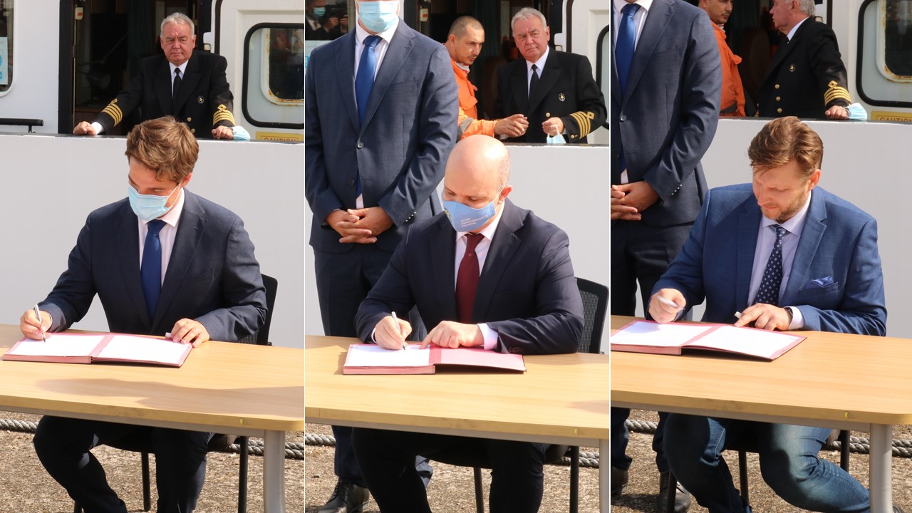
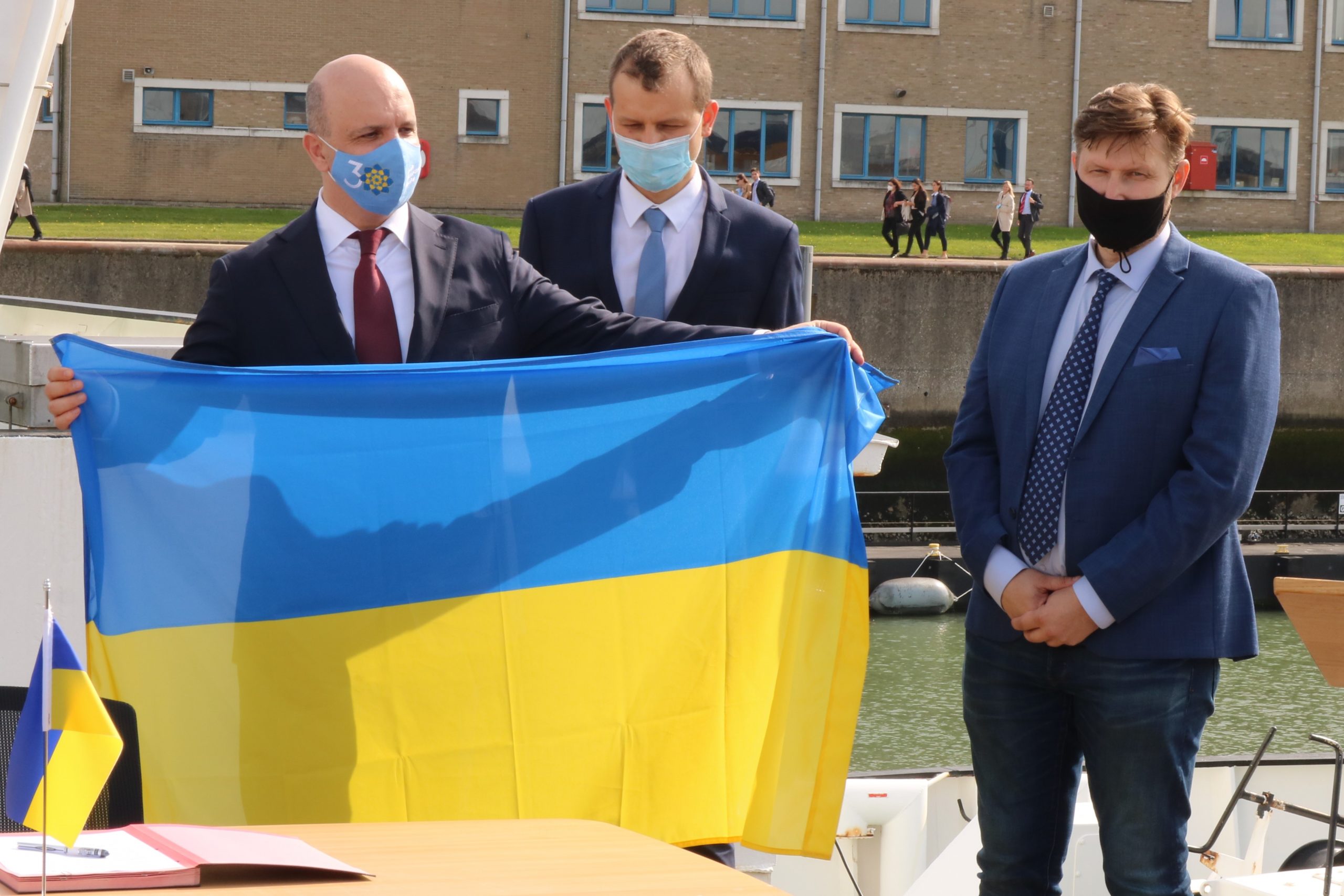
The policy brief ‘Nourishing Blue Economy and Sharing Ocean Knowledge. Ocean Information for Sustainable Development‘ was presented today to EU representatives at the EuroSea policy feedback meeting of 15 October 2021.
Extra information
RBINS and Ocean Observation
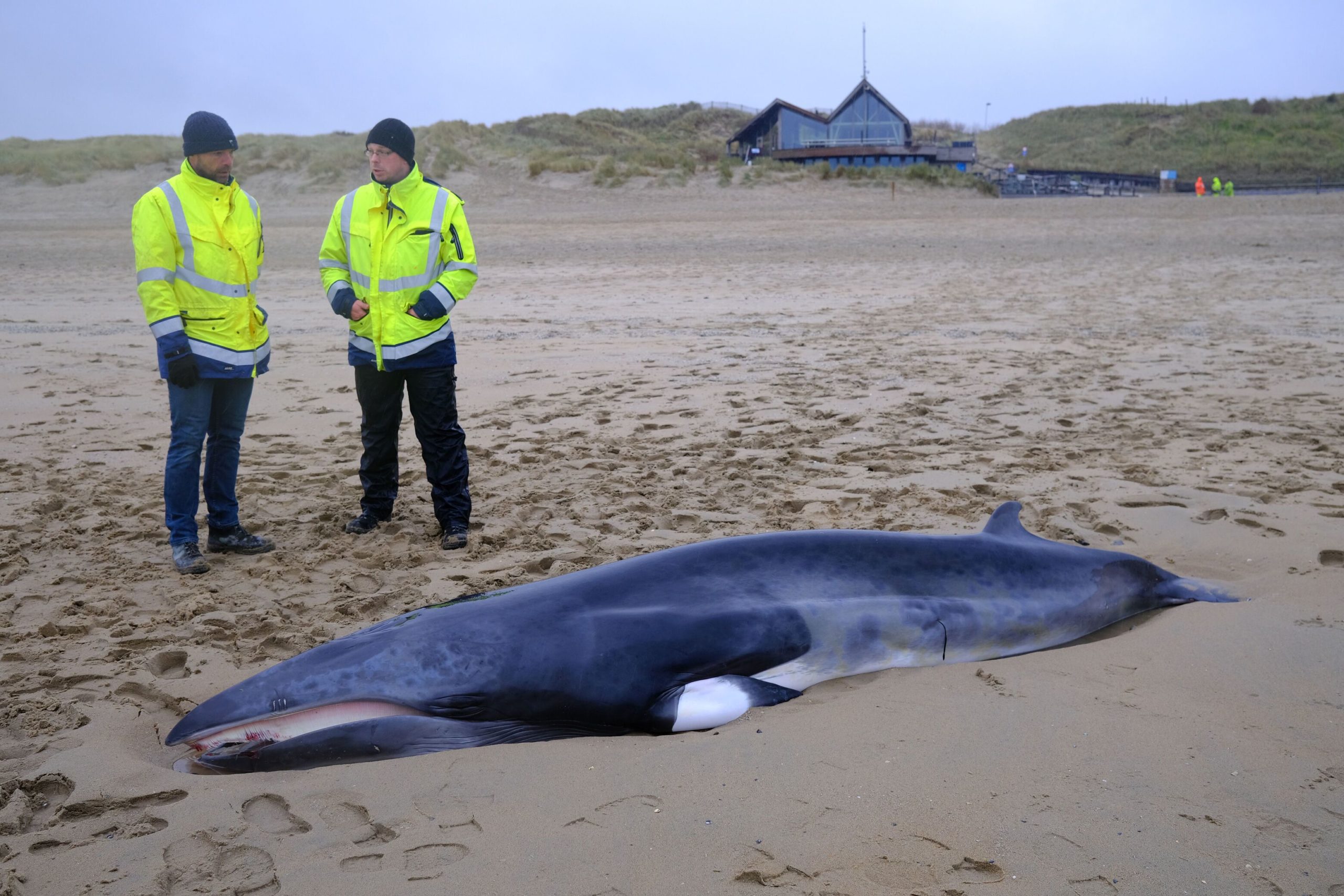
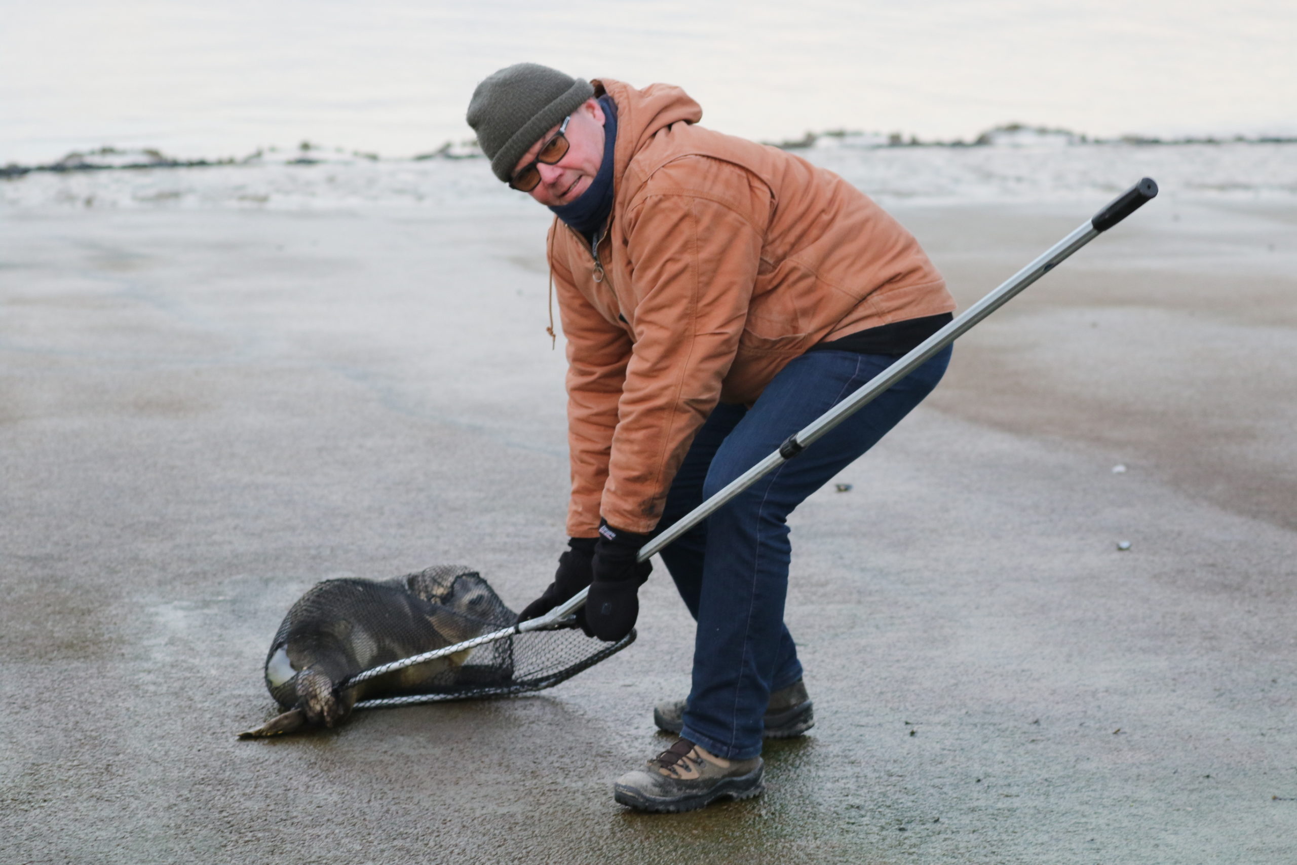
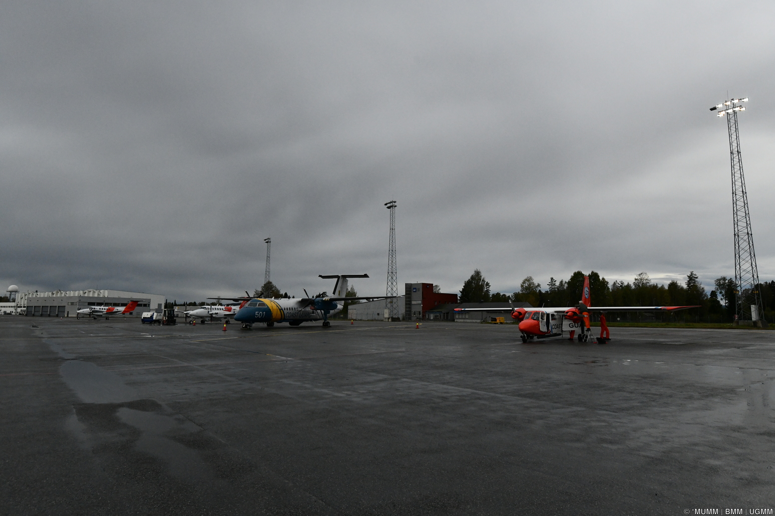
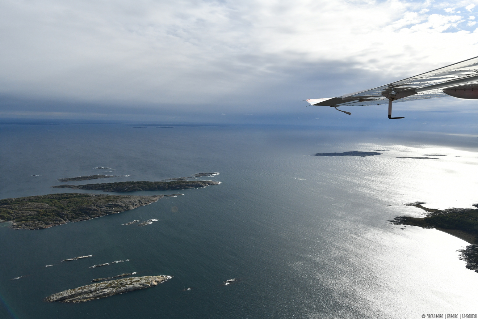
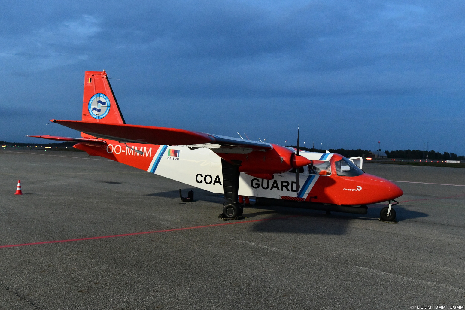
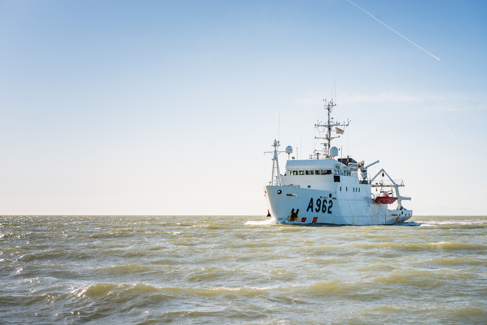
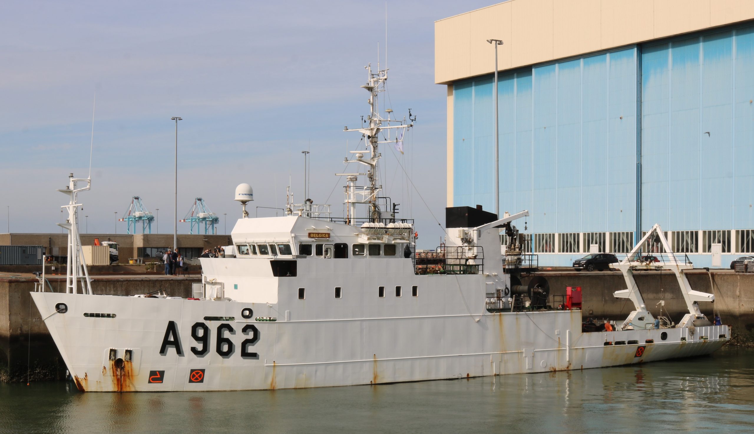
The Operational Directorate Natural Environment (OD Nature) of the Royal Belgian Institute of Natural Sciences has a long tradition in ocean observation, and fulfils this role on four levels: 1) the coordination and execution of a monitoring programme for the North Sea, 2) the study of the biotic and abiotic components of seas and oceans, and of the interactions between them, 3) the management and improvement of databases and scientific instruments (including the research vessel RV Belgica, the aerial surveillance aircraft OO-MMM and satellite applications), and 4) advising national and international policy makers and representing the Federal State of Belgium in international policy bodies.
In particular, the expertise of the research group ECODAM (ECOsystem Data Analysis and Modelling; part of RBINS/OD Nature) is closely aligned with the mission of the EuroSea project, and justifies RBINS participation in this project. ECODAM brings together some 25 highly qualified scientists with multidisciplinary backgrounds and carries out scientific research in aquatic ecosystems to improve our understanding of seas and oceans, and to better manage them based on scientific knowledge. Relevant expertise includes physical oceanography and hydrodynamic modelling (for tides, storms, waves, oil pollution, nutrients, phytoplankton, distribution of biological organisms, etc.), aquatic optics and satellite remote sensing, supporting applications and developments of mathematical models at national and international levels, and supporting federal, regional and European administrations and private sector activities.
Funding
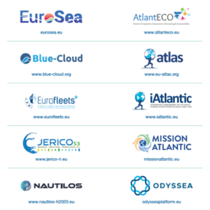
The 10 participating projects have received funding from the European Union’s Horizon 2020 (H2020) Research and Innovation programme under Grant Agreements: EuroSea 862626; AtlantECO 862923; Blue-Cloud 862409; EU-Atlas 678760; Eurofleets+ 824077; iAtlantic 818123; JericoS3 871153; Mission Atlantic 862428; Nautilos 101000825; ODYSSEA 727277.
Besides EuroSea, the RBINS is also a partner in the Eurofleets+ and JericoS3 projects.
The policy brief ‘Nourishing Blue Economy and Sharing Ocean Knowledge. Ocean Information for Sustainable Development‘ was produced with the support of Trust-IT Services, provider of the Horizon Results Booster funded by the European Commission, Directorate General for Research and Innovation, Unit J5, Common Service for Horizon 2020 Information and Data.