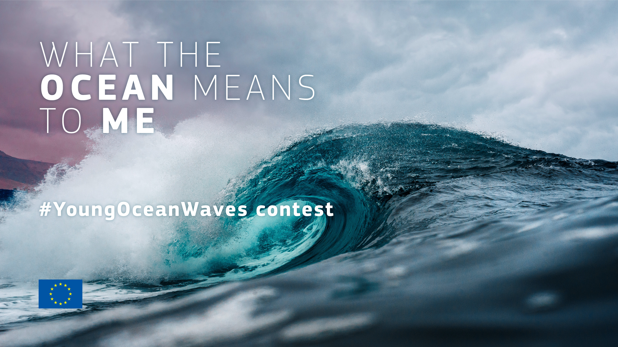
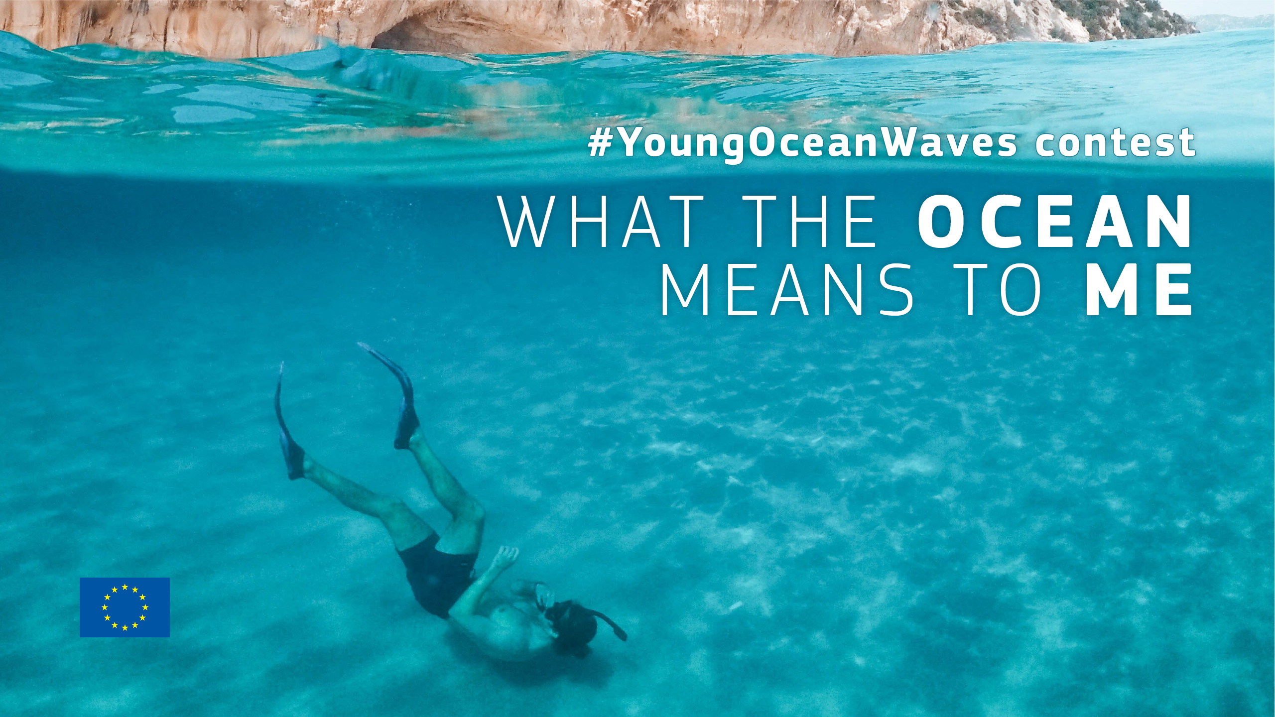
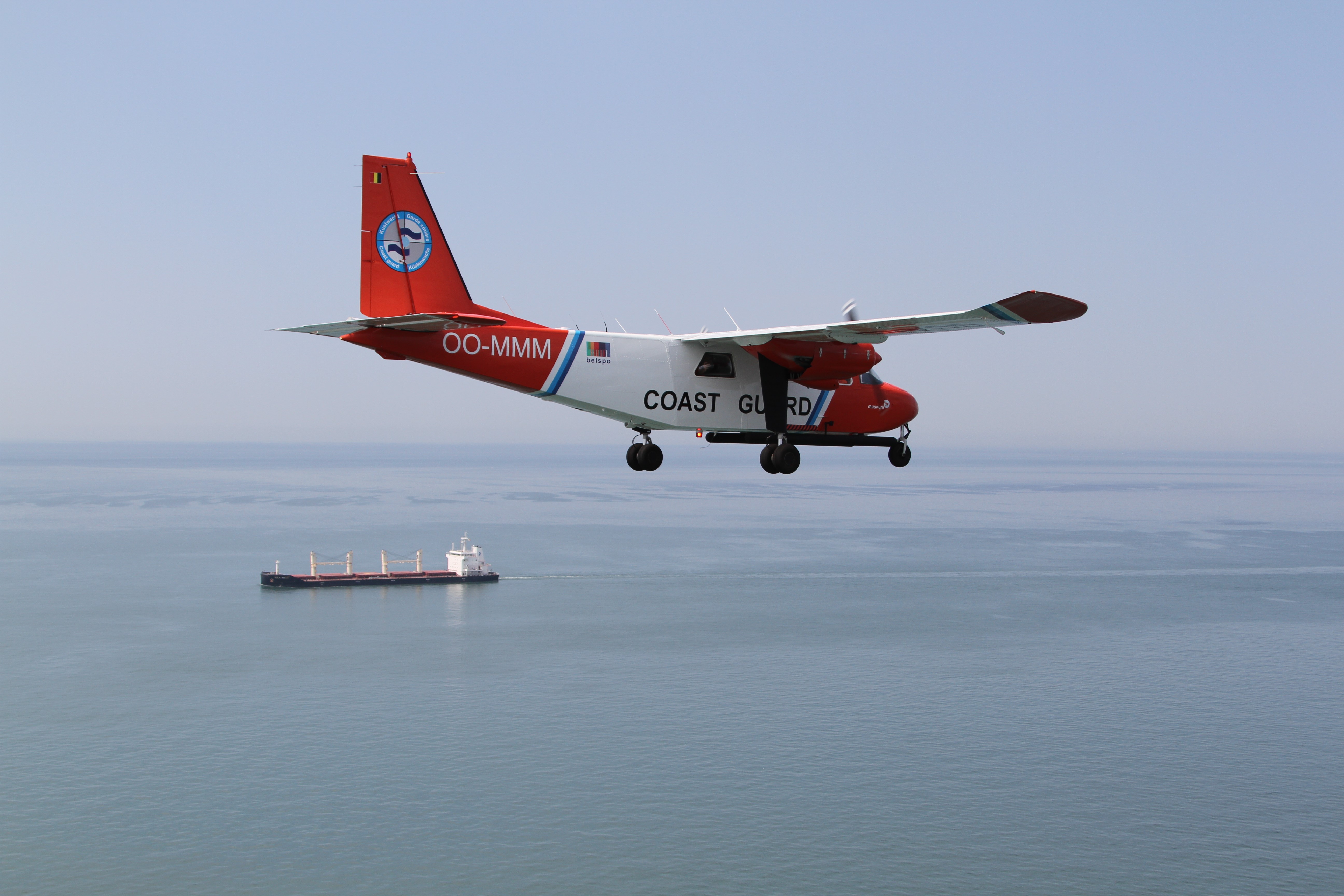
A new consortium has been selected to provide high-resolution ocean color products derived from Sentinel-2 in the Copernicus Marine portfolio. Such products will be distributed operationally by early 2021. These new products will support the European Marine Strategy Framework Directive (MSFD), EU Water Framework Directive (WFD), and Maritime Spatial Planning (MSP), as well as many downstream applications.
The addition of high-resolution ocean color products is important to support coastal communities because such data is considered a key element for the effective management of coastal resources. Such high-resolution (<300m) ocean color products are not yet part of the Copernicus Marine portfolio. In order to complement the existing low-resolution (>300m) ocean color products with high-resolution ones, Mercator Ocean has published last April 2020 a call for tender to implement and operate a service delivering Level 3 and Level 4 products for the European regional seas based on the use of Sentinel-2 data (see more here).
Several propositions were received, analyzed, and evaluated; the consortium gathering Brockmann Consult GmbH from Germany, the REMSEM-team of the Royal Belgian Institute of Natural Sciences (RBINS) from Belgium and VITO from Belgium has successfully won the call. Kick-off of these new activities took place on July 9.
The selected consortium builds on the experience gained over several years in developing high-resolution services for Research & Development projects (such as HIGHROC, DCS4COP, Multisync, or CyanoAlert), Copernicus Services (Copernicus Land and Climate) and as downstream service providers.
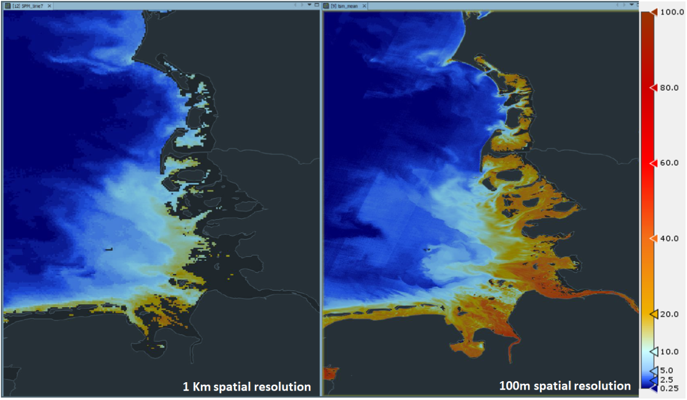
The new High-Resolution Ocean Colour (HR-OC) production unit, complementing the existing Low-Resolution Ocean Colour Thematic Centre, will ensure the production of Sentinel-2 Total Suspended Matter Turbidity and Chlorophyll-a datasets for all 6 regional seas in Europe (Mediterranean Sea, Black Sea, Baltic Sea, European North West Shelves, Iberian-Biscay-Irish seas, and the Arctic Ocean) over the coastal strip up to 20 km from the shore. The figure shows an example of the new Sentinel-2 product compared to an already available Copernicus Marine Service product.
These new products will support European Directives such as the Marine Strategy Framework Directive, the Water Framework Directive, and Maritime Spatial Planning in addition to a variety of downstream applications including offshore operations, coastal engineering, habitat monitoring, aquaculture, Harmful Algae Bloom (HAB) monitoring, adaptation and mitigation to climate change. Such high-resolution products will address the need from our Environmental, Societal, and Economical user communities, for market sectors such as “Ocean Health”, “Policies & Ocean Governance & Mitigation” and “Coastal Services”.
Source: https://marine.copernicus.eu/successful-kick-off-new-copernicus-marine-high-resolution-ocean-color-service/

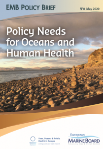 The Policy Brief on Policy Needs for Oceans and Human Health summarizes the policy challenges when attempting to address both ocean and human health together, and the cooperation and research needed to enable those challenges to be addressed. It proposes ways in which the existing regulatory framework could be adapted to incorporate Oceans and Human Health. It also provides recommendations relating to data and indicators, monitoring, funding and training.
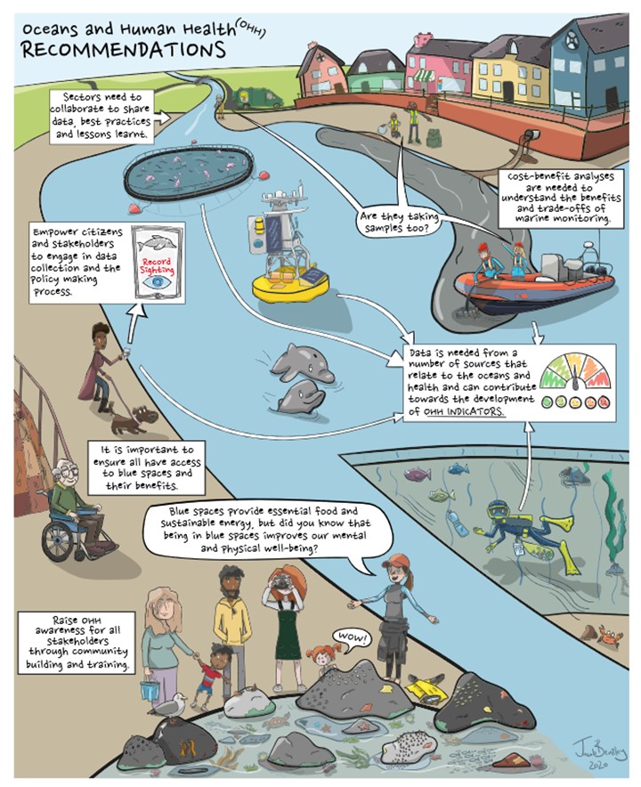
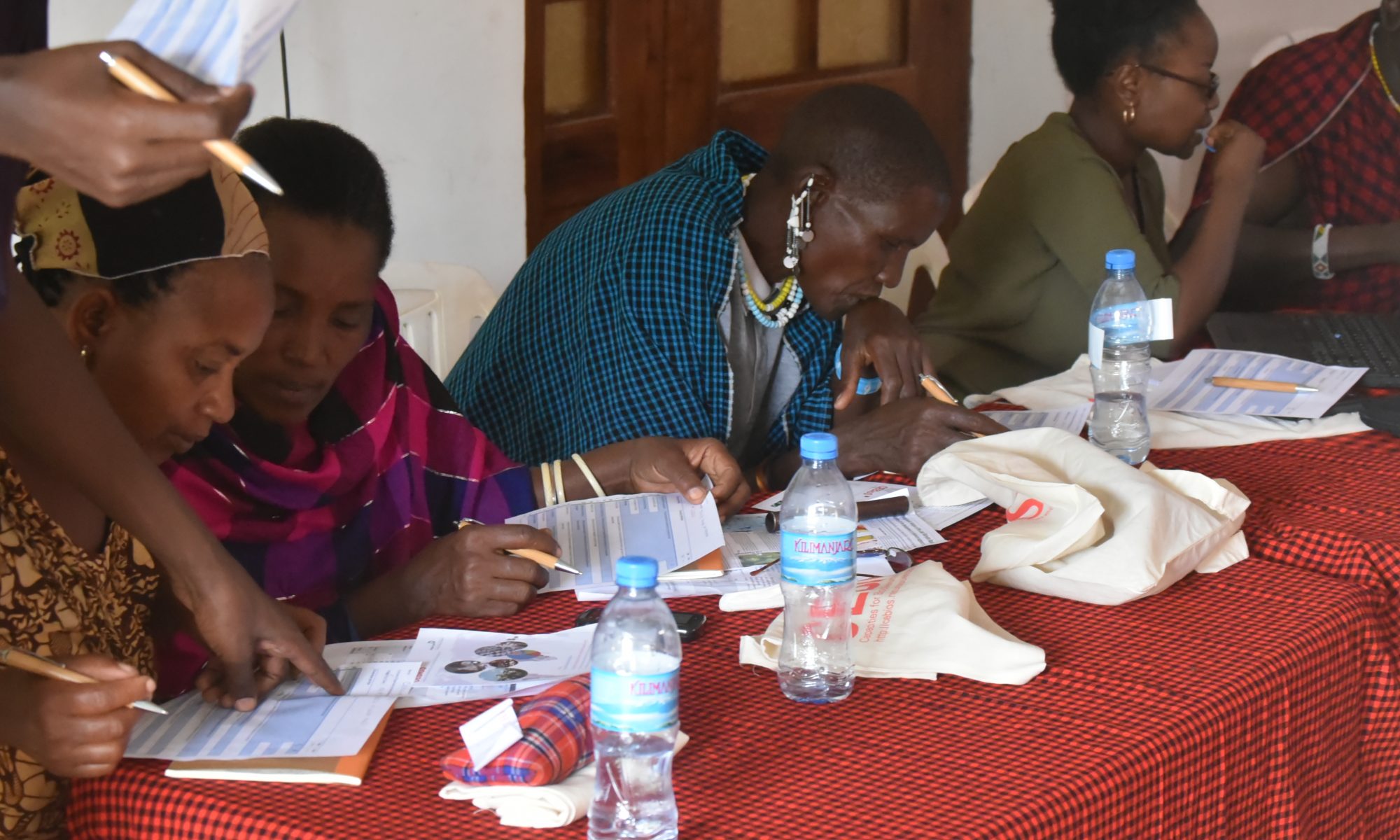
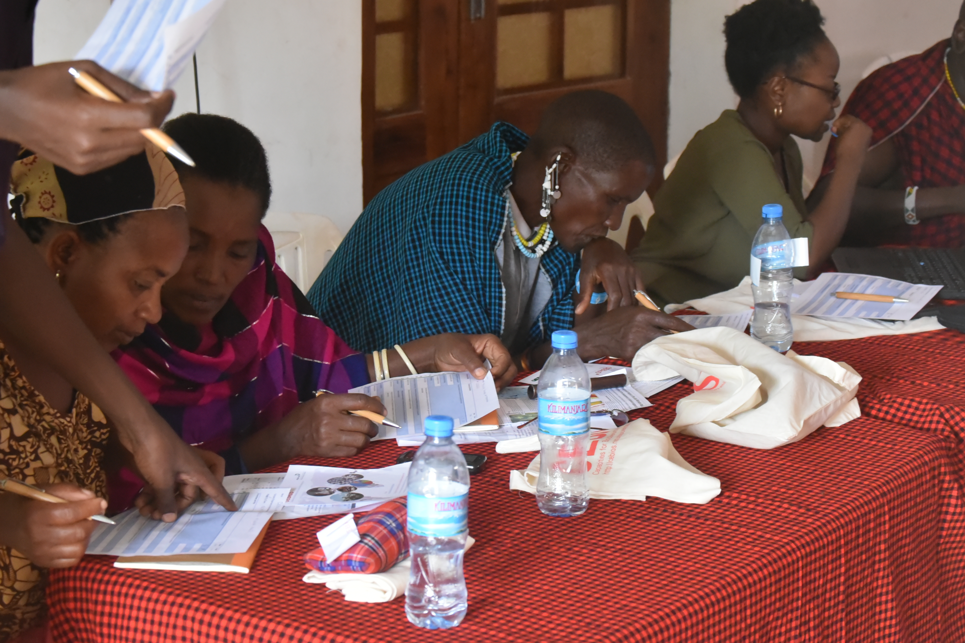
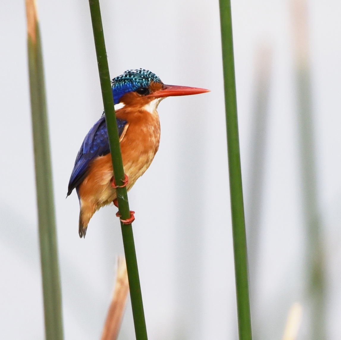
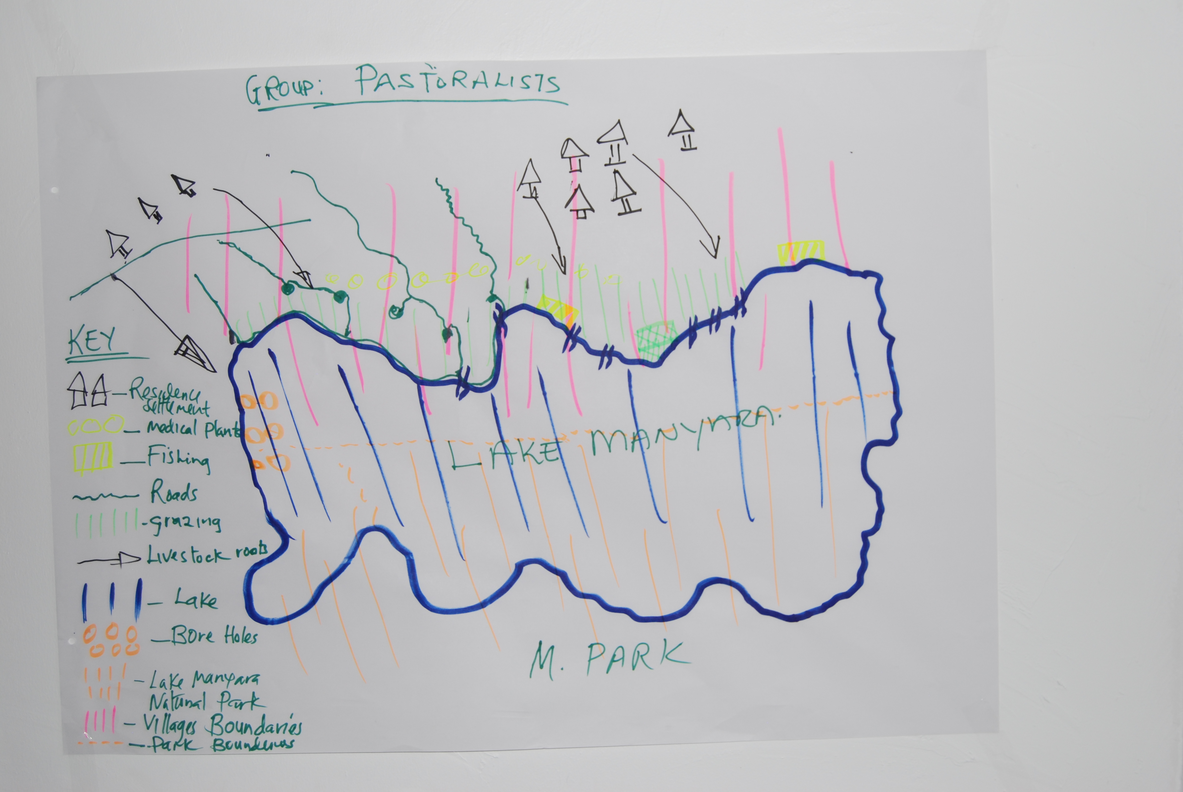
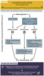 The challenge for scientists and managers lies in reconciling the needs of the local population with the need for the protection of biodiversity. The research that was conveyed in order to identify key actions for the development of the Lake Manyara Basin suggests a unique plural and multifocal approach. This was the outcome of two participative workshops in December 2015 and 2016 that gathered 40 participants and 13 structures from several scientific disciplines, NGOs, local user groups and managers. Together, the participants identified 12 issues which have to be addressed: demographical factors, siltation, erosion, river dry-up, deforestation, destruction of water sources, human activities near the lake, water capture before the water reaches the lake, heavy rainfall causing erosion, evaporation, trampling and grazing. Subsequently, a decision support system in service of an integrated management plan was suggested. The results were published in the

 The European Marine Board’s (EMB) 6th

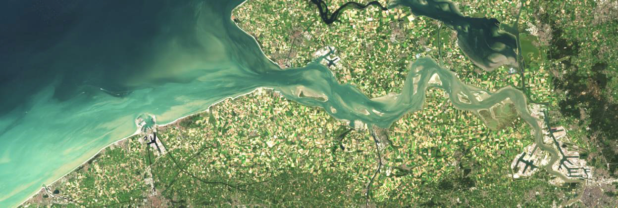
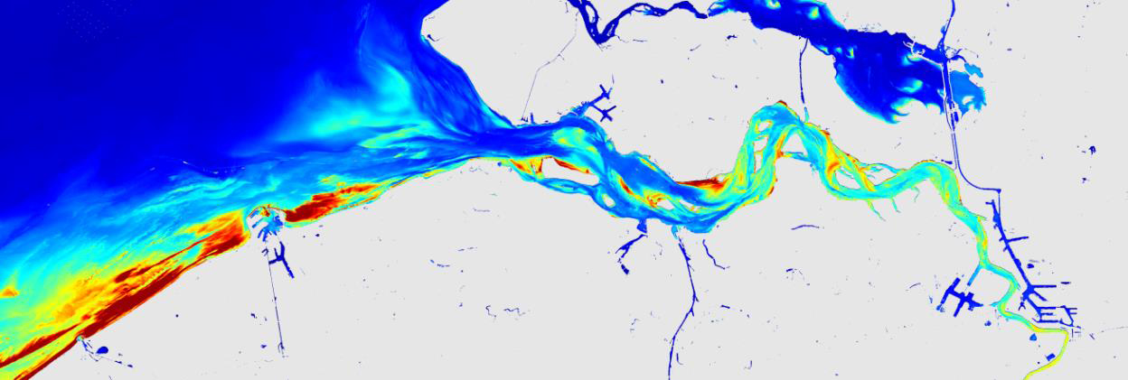
 Sentinel-2 image in true colours of the study area (10 m resolution) and Suspended Particulate Matter product (SPM)
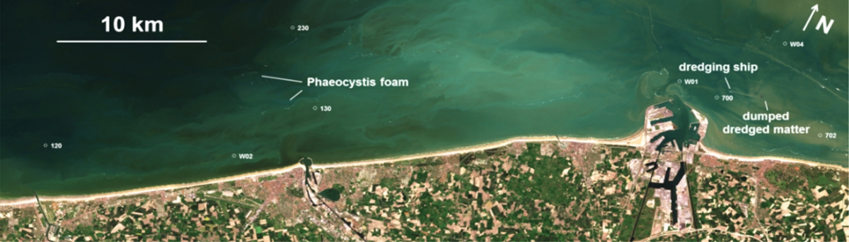
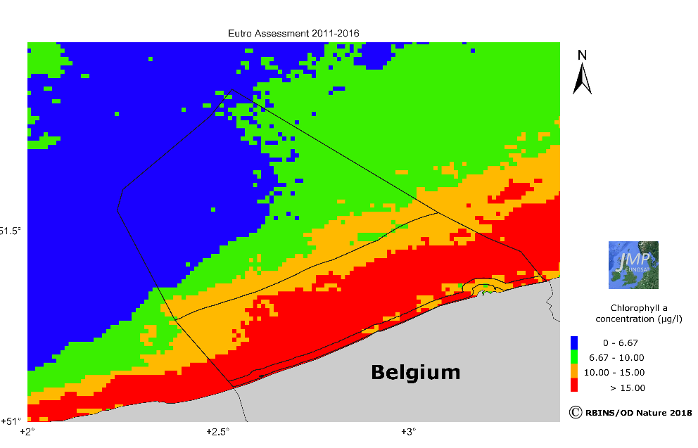
 Sentinel-2 image of May 1st, 2016 (true colour image on top, and chlorophyll-a product below) showing a near-shore algal bloom near Ostend