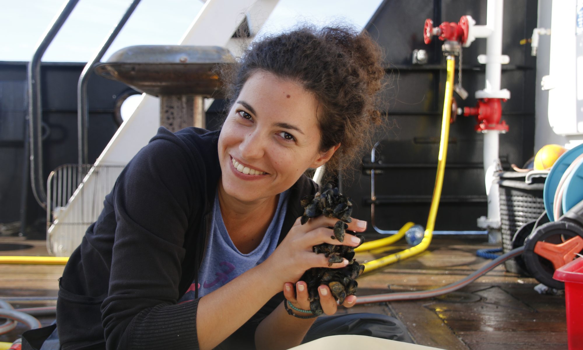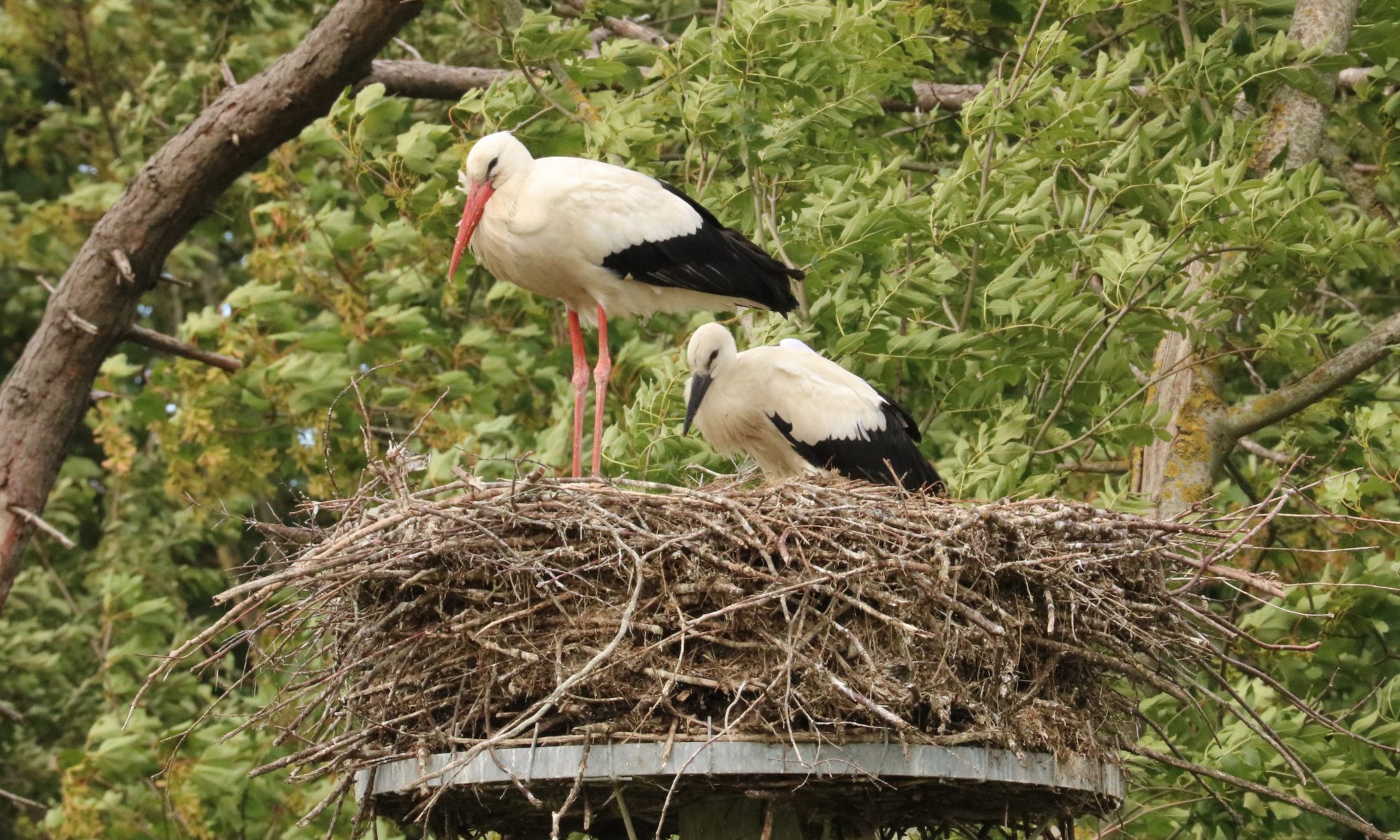
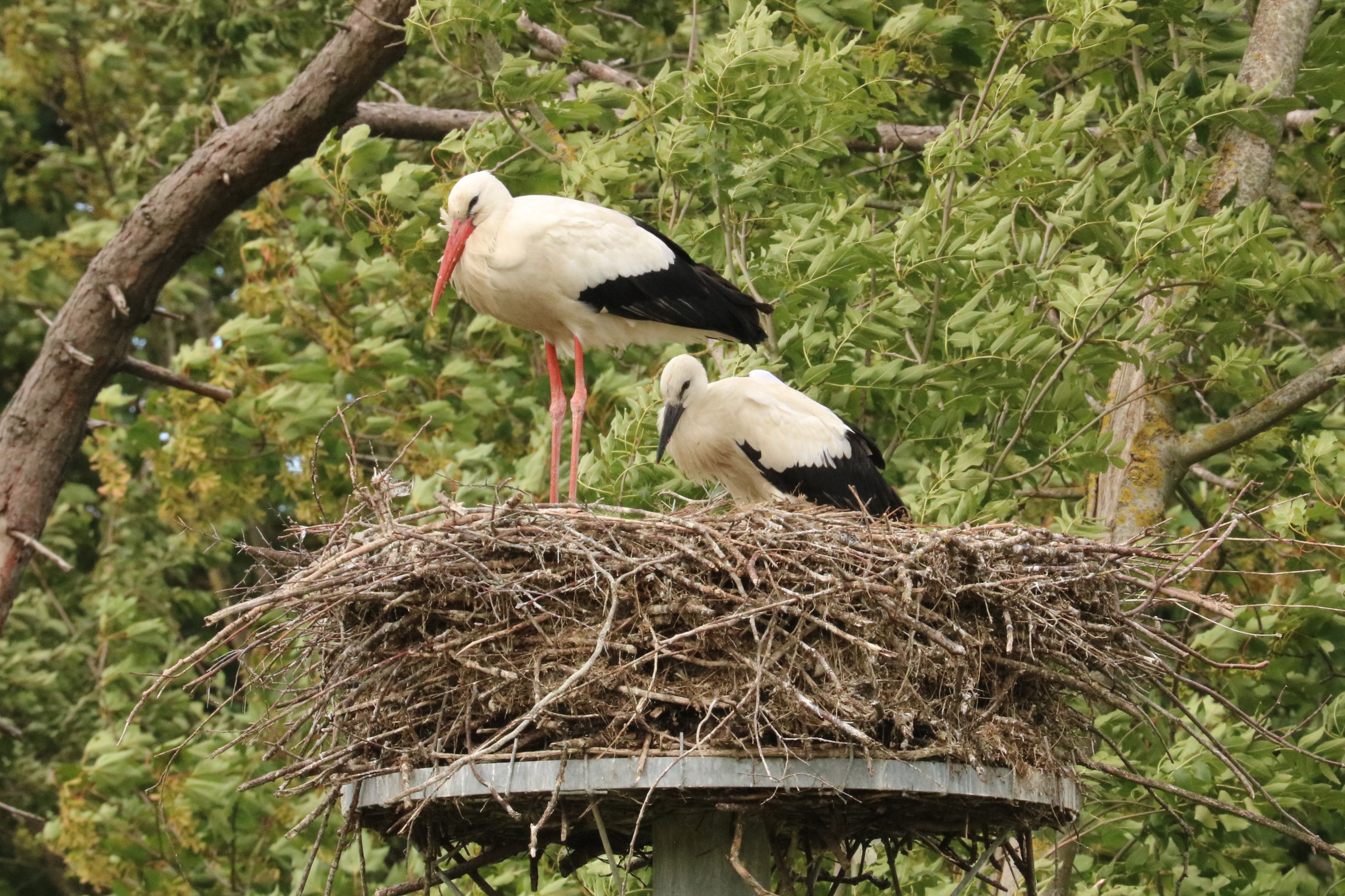
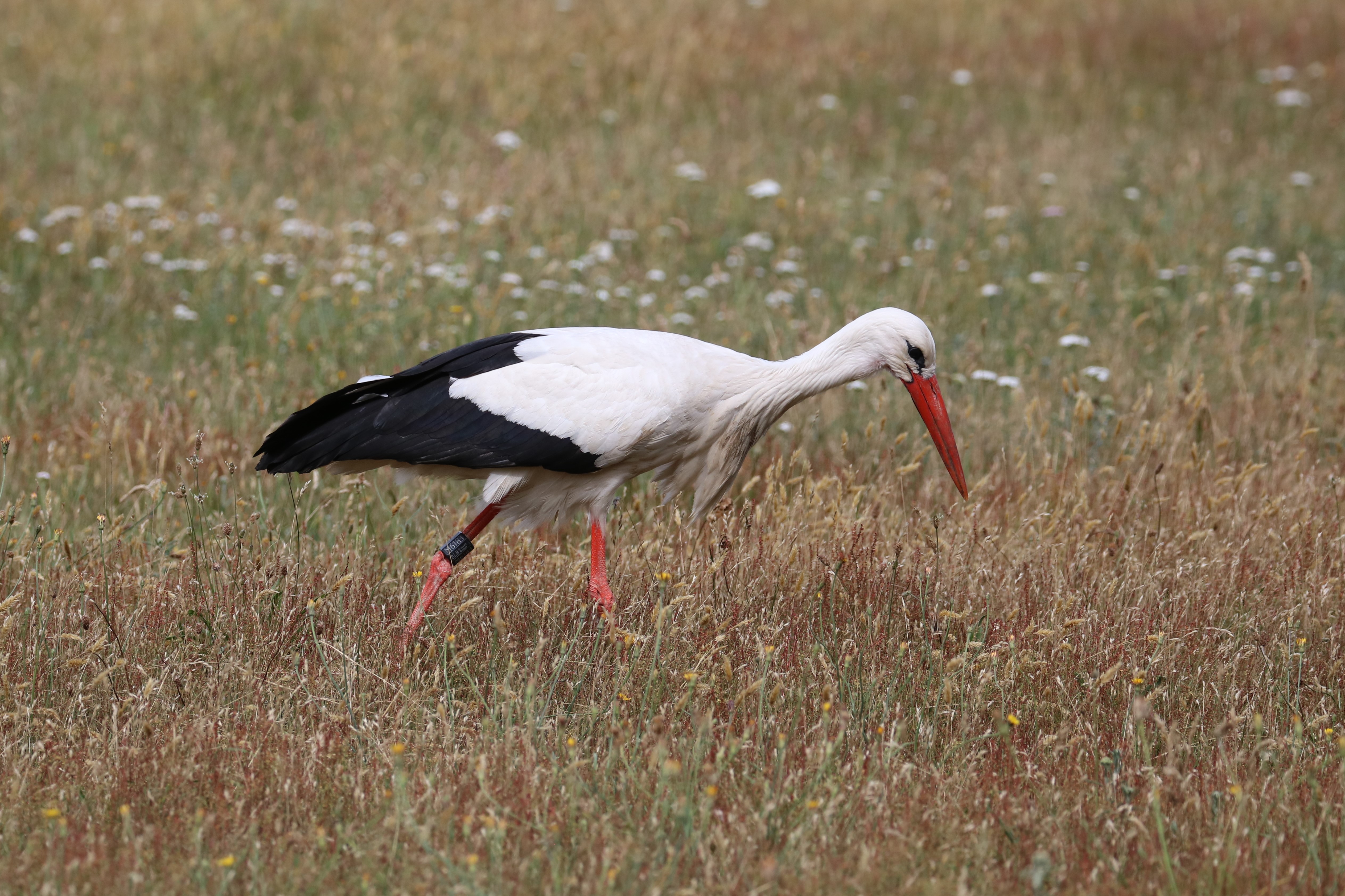
On Monday 29 June 2020, four new young white storks were equipped with transmitters in the Zwin Nature Park in Knokke-Heist. As such they follow in the footsteps of the three juvenile stork who were equipped with transmitters here in 2019, in collaboration with the Royal Belgian Institute of Natural Sciences. Thanks to the transmitters, the scientists are able to continuously monitor the storks and obtain information about the migration routes, the wintering areas and the dangers the storks face. The research also makes it possible to estimate the consequences of changing conditions during the storks’ migration and wintering.
For information on the history of white storks in the Zwin Nature Park, in Belgium and in Europe, and for details on the design and technical aspects of the Belgian transmitter research, we refer to the article that was published in 2019. In this contribution the focus is on what the transmitter-storks from 2019 have taught us in the meantime, and on the continuation of the research.
Winter Adventures
The route followed by the three young Zwin-storks (Emily = red, Reinout = green, Hadewijch = blue) after being equipped with a transmitter on 26 June 2019 is summarised in the following animation, and commented upon in the text underneath.
After installing the transmitters, the young storks stayed in their nests for another two weeks. On 10 July the first flights were registered, the following weeks the area around the Zwin was extensively explored. The big departure took place on 21 August. The three birds departed together (no doubt in the company of other birds of the same species, but not their parents – it is known that they spend the winter in the Zwin Nature Park) and crossed France in no less than 6 days. On 30 August, meanwhile in northern Spain, they separated their ways.
- Emily turned out to be in the biggest hurry. On September 1st she was already near Gibraltar, and on September 23rd she crossed ‘the Strait’ to Morocco. After some wandering around in the north of that country she finally settled in a fixed winter area around mid-November. But things didn’t end well for her: on 20 February she flew into a high-voltage pylon and got electrocuted.
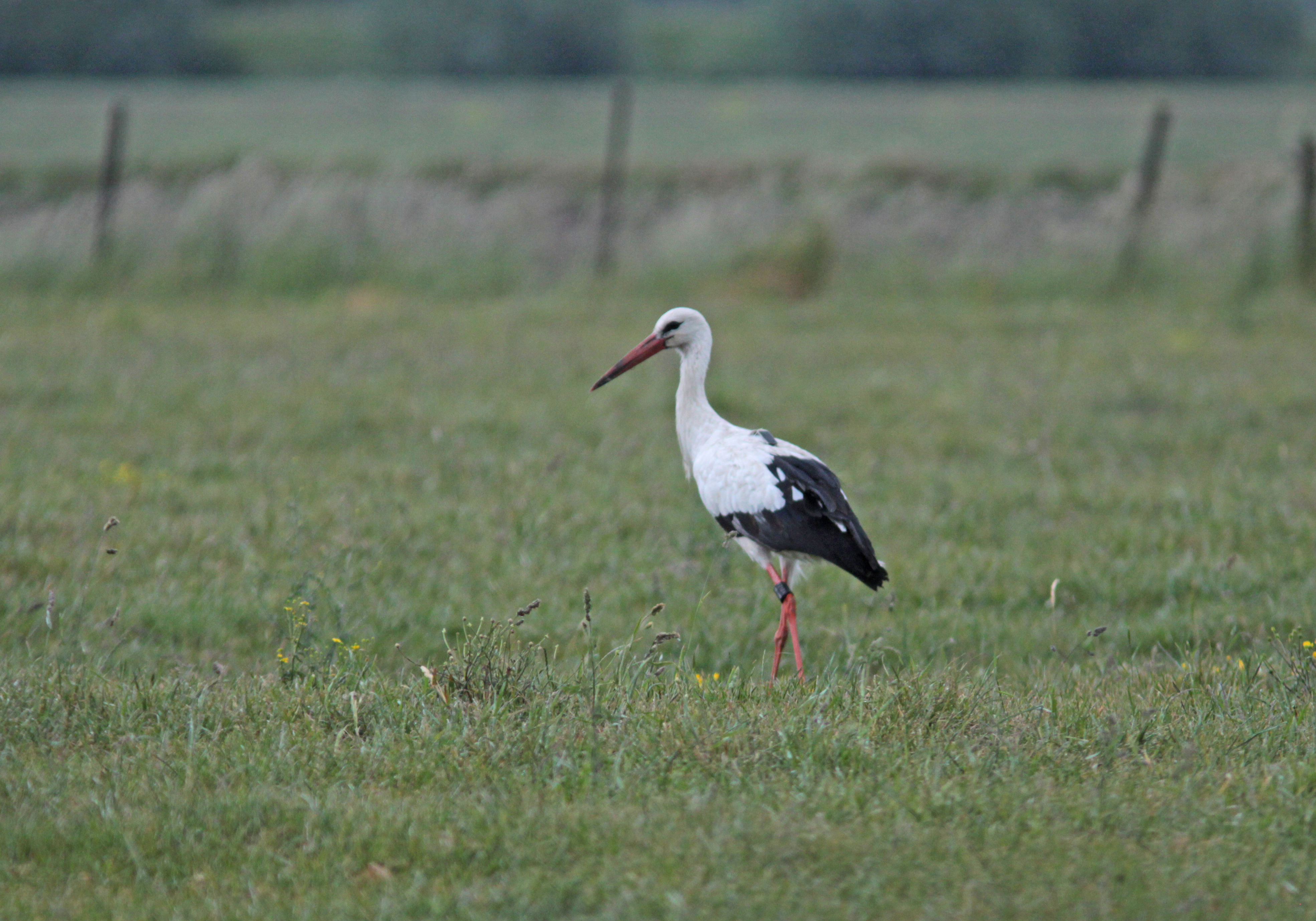
- Reinout, Emily’s sibling, on the other hand, was the least hurried of the trio. He stayed near Madrid until the beginning of October, before descending further to the south of Spain. And there he stayed, the winter was spent in the region of Seville. Mid-March he started his return journey, passing Belgium (where he spent one night) on 12-13 April, and then flying back and forth in the central Netherlands and the neighbouring part of Germany.
- Hadewijch (from another nest) stayed in N-Spain until mid-September, but finally made the crossing to Africa on September 30th. There she also wandered around, to settle in a fixed area in the north of Morocco at the end of November (though another area than Emily). At the end of March 2020 she left this area again, and started heading north. After a long stop in central France (mid-April – end of May) she then flew straight back to the Zwin Nature Park, where she arrived on 3 June and is still present today.
Interesting Findings
So far only three storks were followed during one year, so we are talking about a small sample and have to be cautious about linking strong conclusions to the results. But there are certainly some interesting observations:
- the three birds left together and stayed together for a considerable distance (as far as N-Spain)
- even after the split-up, they repeatedly visited the same areas, but at different times → points towards potentially exceptional importance of certain areas
- visits to landfill sites are a striking feature → interesting in relation to the important question of the impact of the European ban on open landfill sites (soon to be applied in the Iberian Peninsula) on species that have learned to look for food here
- American crayfish, an introduced exotic species, are a sought-after snack in the Spanish rice fields.
- one bird stayed in Europe, but the two that reached Africa didn’t cross the Sahara either
- when the birds settle for the winter, the range suddenly becomes very small
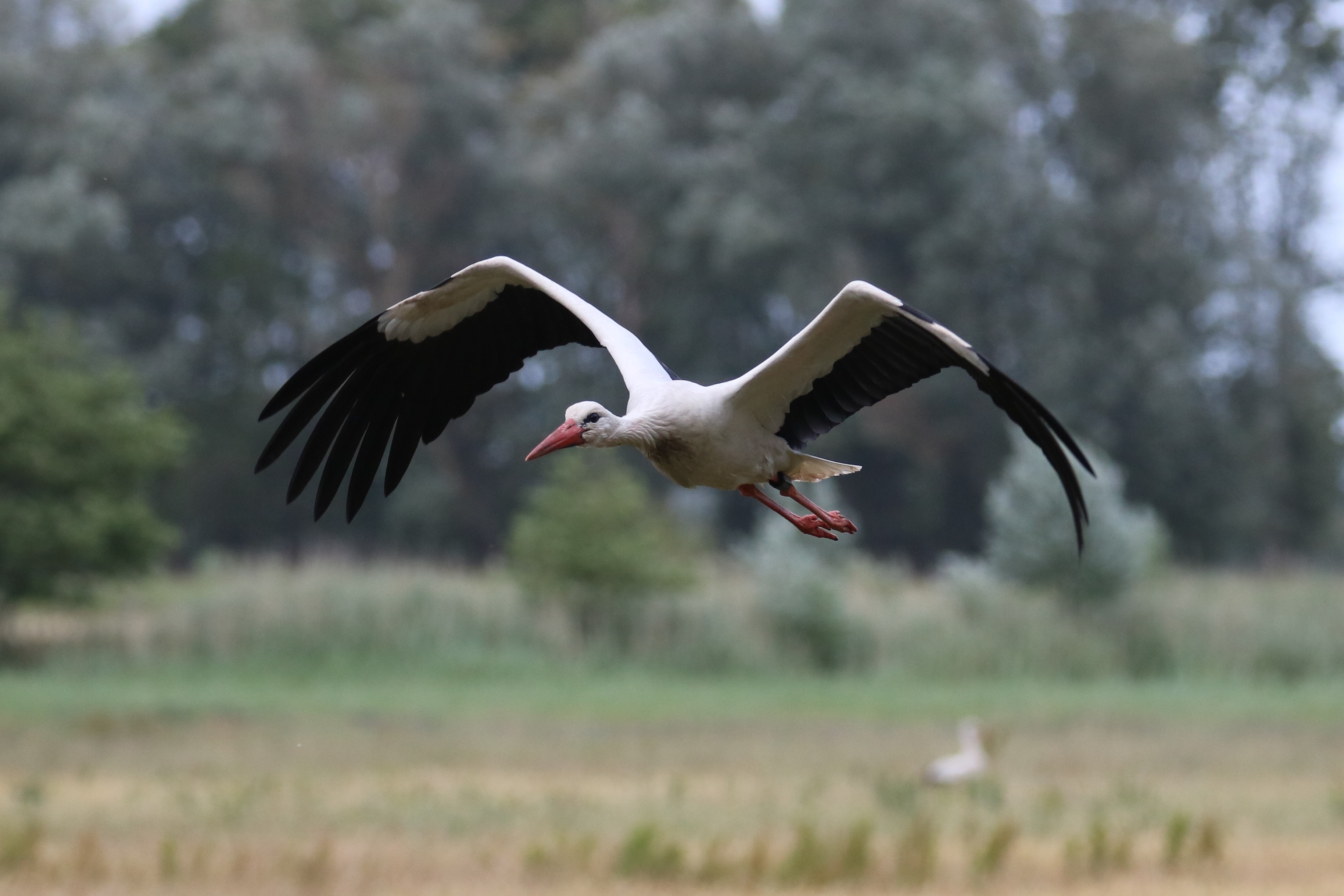
- electrocution is a real danger to large birds (confirmation)
- young birds show a great lust for wandering and start the return journey rather late, but a return to the region of birth is already possible in the first year
Further Research
Due to the small sample and the limited time span of the investigation so far, the above findings should not yet be considered to be significant conclusions. That is why the 2019 storks are still being monitored, and on 29 June 2020 four more storks were equipped with transmitters at the Zwin Nature Park (watch the video!). This time they originate from three different nests. The intention is to further increase the number of storks in the next few years. By the way, the transmitters remained unchanged compared to 2019. They weigh only 25 grams (less than one percent of the body weight) and are very sustainable. Working on solar energy, they transmit the accurate data collected by their GPS via the GSM network. When there is no range, everything is stored in an internal memory, and transmitted when possible. And there is also communication with the transmitters in both directions, e.g. the frequency of the transmission of location details can be adjusted.
Also the traditional ringing research remains important for building insights and formulating answers to the challenge of protecting storks, and migratory birds in general. After all, it is not enough to protect migratory birds in their breeding areas, this is also necessary in the winter quarters and along the entire migration route.
The results of the research can be followed on the website of the Zwin Nature Park – Operatie Ooievaar.
Names for the Storks
We are still looking for names for the four newly-equipped storks. Proposals can be submitted until 10 July, accompanied by a short justification for the proposed names. On 15 July the chosen names will be announced.
Interesting to know is that the sex of storks is almost impossible to determine externally. Only during mating can it be seen with certainty which position is taken by the two partners. Therefore, the sex of the young birds from 2019 is not yet known. It is quite possible that Reinout is the only female, and that the names Emily and Hadewijch were assigned to males. Maybe choose gender-neutral names? For the birds from 2020, however, the sex will soon be known, as some feathers have been collected for DNA analysis.
As an international airport for birds, the Zwin Nature Park is a knowledge and expertise centre for bird migration. In addition to ringing storks and installing transmitters, the Zwin Nature Park also focuses on ringing of other bird species. From 1 August to 7 November 2020, ringing will take place almost every day, and the public will also be able to observe this activity. In Belgium, the scientific ringing of birds is coordinated by the BeBIRDS group of the Royal Belgian Institute of Natural Sciences (RBINS).