Newest insights regarding environmental impacts of offshore wind farms in the Belgian part of the North Sea.

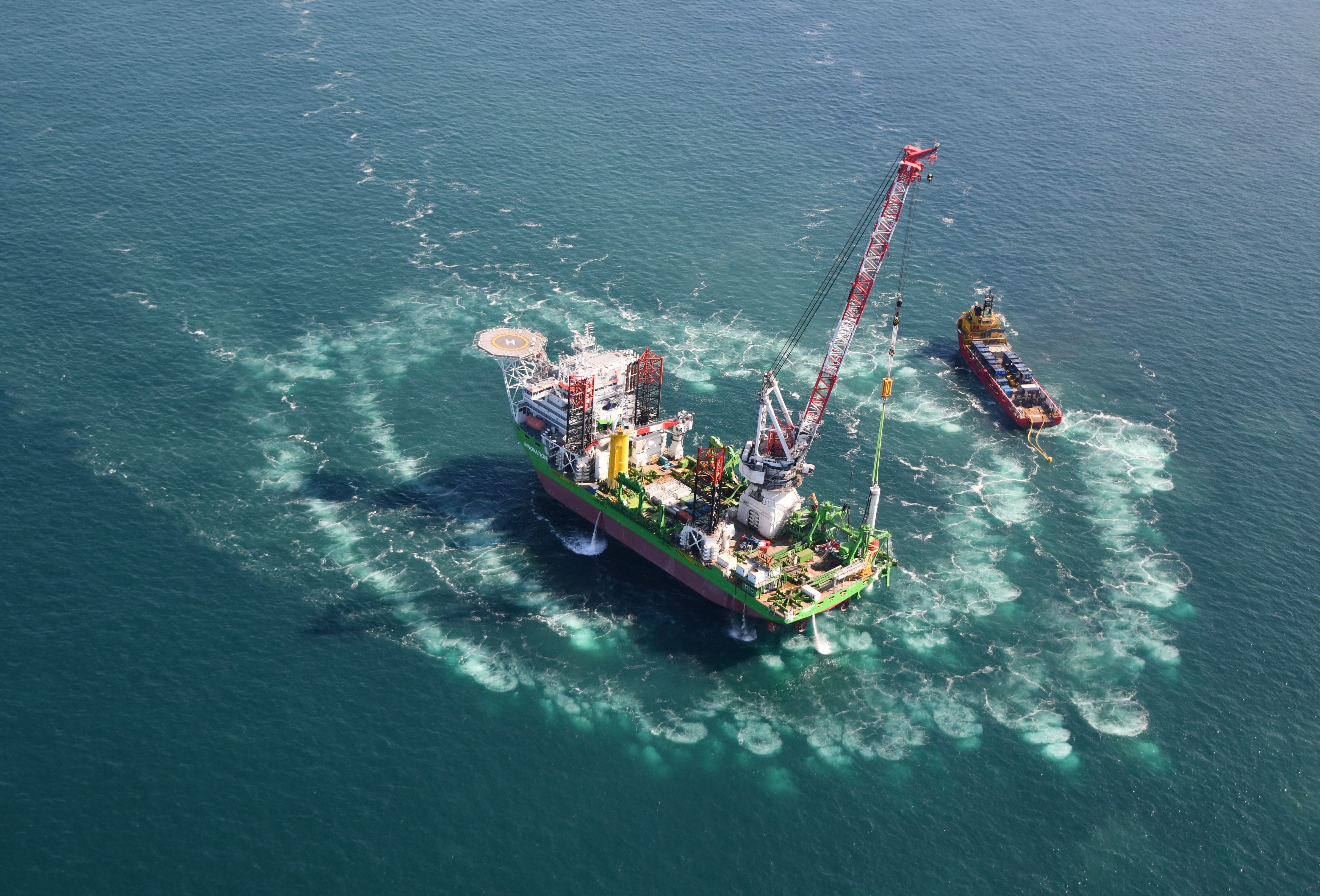
Energy production from renewable sources will cover 13% of the total Belgian energy consumption by 2020, if the target defined by the European Commission in 2001 is met. Offshore wind farms in the Belgian part of the North Sea are expected to make an important contribution to achieve that goal, and will produce ca. 43% of the renewable energy, assuming a 2000 Megawatt installed capacity by 2020. In the new report “Environmental Impacts of Offshore Wind Farms in the Belgian Part of the North Sea: Assessing and Managing Effect Spheres of Influence.”, the Royal Belgian Institute of Natural Sciences and its partners assess the impacts of offshore wind turbines on the marine ecosystem and reveal the processes behind these impacts.

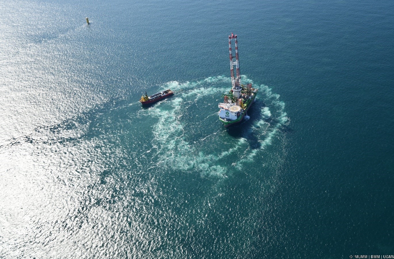
Nowadays, four offshore wind parks are already operational in the Belgian part of the North Sea, and a fifth (Norther) is currently being constructed. By the end of 2018, an installed capacity of 1152 Megawatt, consisting of 274 offshore wind turbines, will be operational in our national waters. Four other projects are scheduled to start construction in 2019 and 2020. With 238 km² reserved for offshore wind farms in Belgium, 344 km² in the adjacent Dutch Borssele area, and 122 km² in the French Dunkerque zone (Fig. 1), cumulative ecological impacts are likely to form a major concern in the southern North Sea over the coming years.

Location of current and planned wind farms in the southern North Sea. Black line: border of the Belgian part of the North Sea; blue: wind farms already operational, orange: wind farms under construction, pink: start of construction in 2019, purple: start of construction in 2020; A and B: proposed area for the Dunkirk wind farms; dotted line: new area for renewable energies as proposed in the Marine Spatial Plan 2020-2026. © RBINS

Apart from a domain concession, a developer must therefore also obtain an environmental permit prior to installing a wind farm. Such a permit includes terms and conditions intended to minimise the impact of the project on the marine ecosystem, but also imposes a monitoring programme to assess the effects of the project on the marine environment. In Belgium, the Royal Belgian Institute for Natural Sciences coordinates this monitoring programme, thereby also relying on the expertise of Ghent University, the Research Institute for Agriculture, Fisheries and Food (ILVO) and the Research Institute for Nature and Forest (INBO). “With this monitoring programme, we don’t only obtain a proper understanding of the influence sphere of individual wind turbines and of wind farms as a whole, it also allows us to design mitigation measures to directly manage unwanted effects on the marine ecosystem” says Steven Degraer, lead author of the report.

Some remarkable results from the new report

Effectiveness of a single Big Bubble Curtain (BBC) to mitigate underwater sound during pile driving (chapter 2): As the size of commercially available wind turbines has increased in the last decades, more powerful hydraulic hammers are required to drive the bigger steel foundation monopiles into the seafloor. As a result, higher levels of impulsive sound are introduced into the marine environment, raising concerns about possible negative impacts on marine life. To comply with the Belgian Marine Strategy Framework Directive requirements, a threshold of 185 dB at 750 m from the sound source should not be exceeded.  Sound mitigation measures are therefore no longer an option but compulsory during piling activities. In this study, the effectiveness of a single Big Bubble Curtain was tested during the construction of the Rentel Park. In this method, air is compressed through a perforated hose that is installed on the seafloor around the construction location, creating a shield of bubbles that partially absorbs the sound energy, and reduces the sound with a maximum of 11-13 dB.

Big Bubble Curtain (BBC) © RBINS

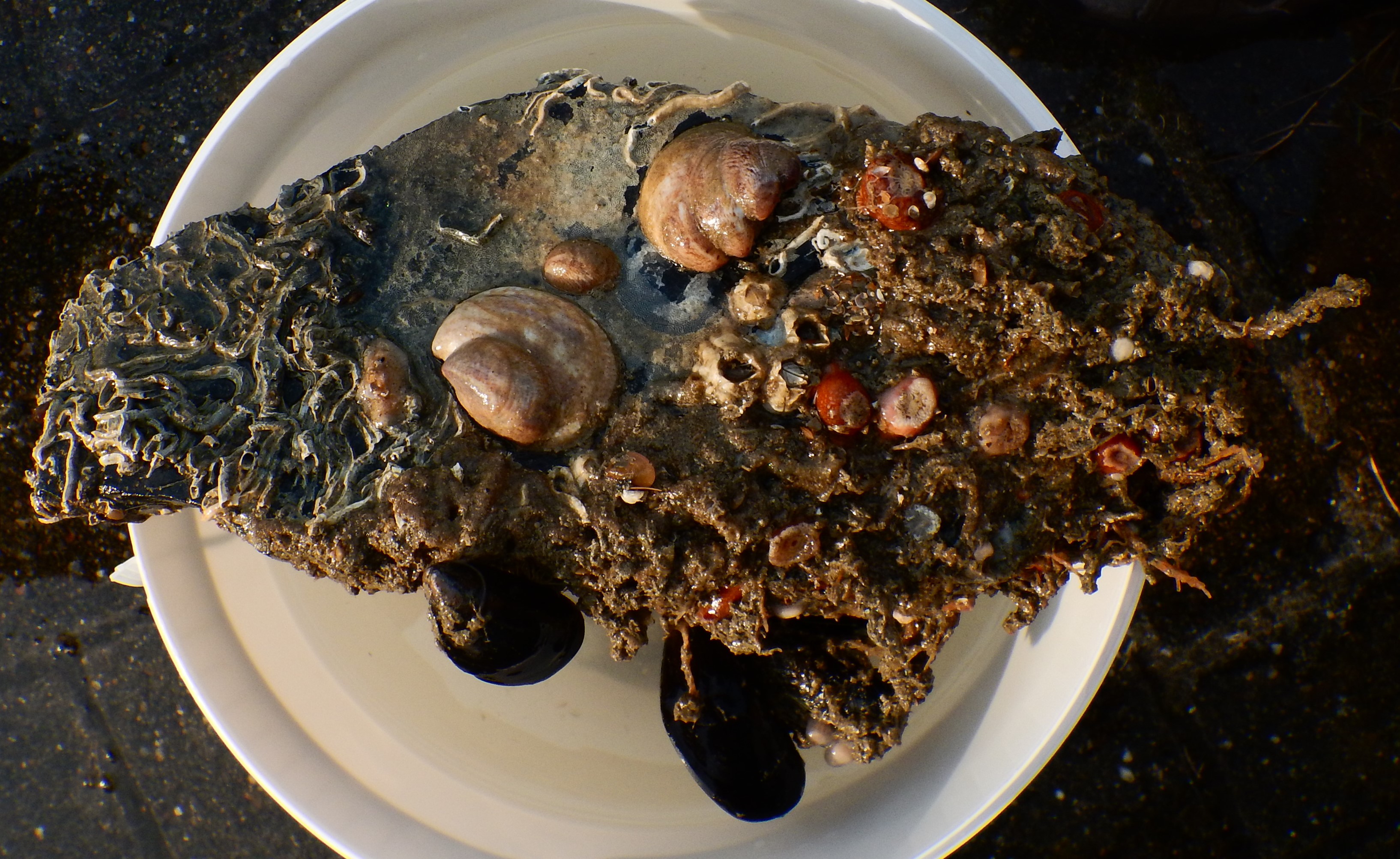
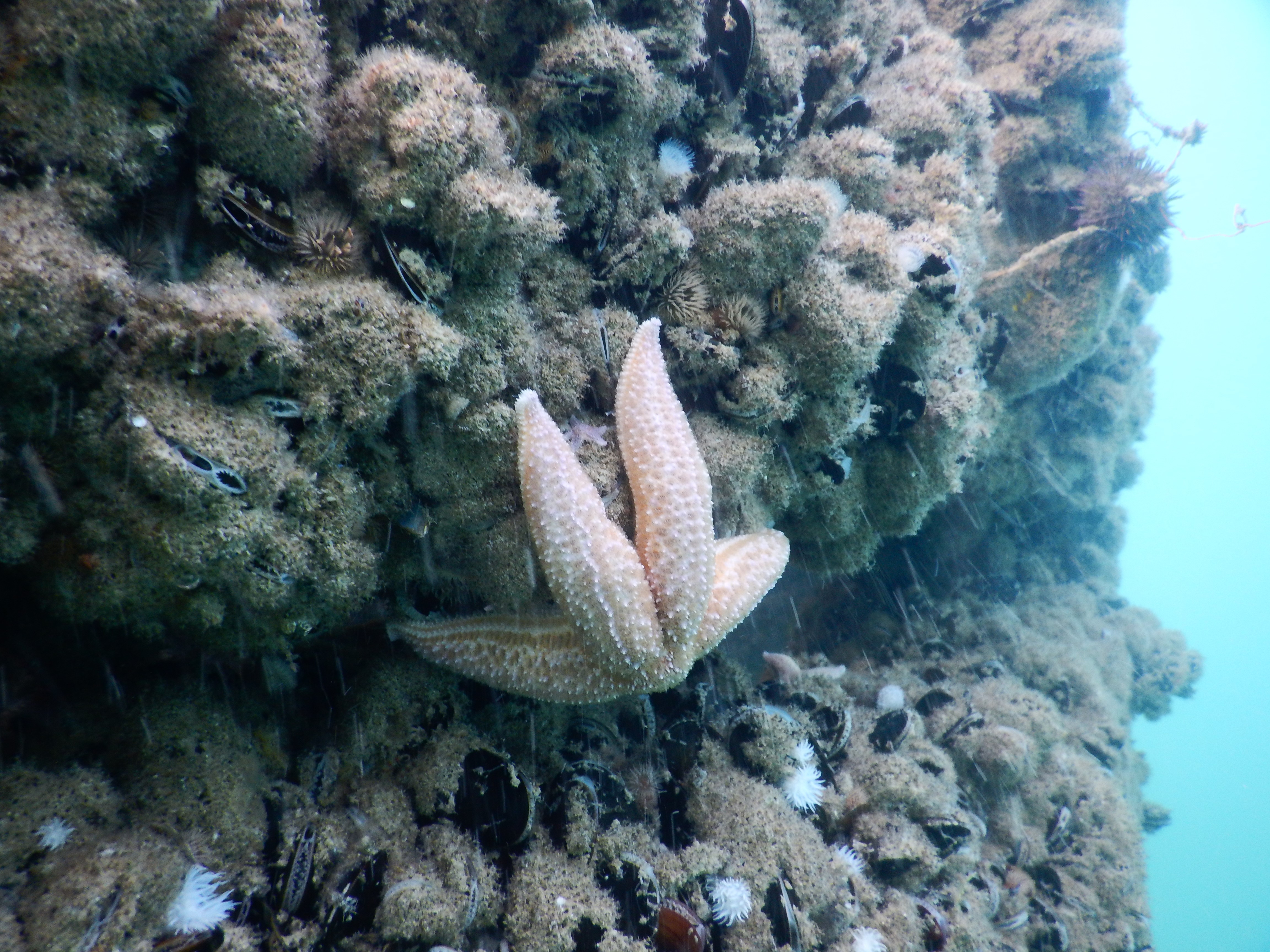
Monitoring of sediments and of invertebrates in the soft sediments surrounding the wind turbines has shown that mussels and anemones, organisms that are known to be fouling on the turbine foundations, are becoming more abundant in these sediments than in reference zones outside the wind farms. However, detailed follow-up is needed to validate whether this is a one-off observation or a real wind farm effect, so it is too early to conclude that a direct wind farm (‘reef’) effect, or an indirect fisheries exclusion effect, is manifesting itself (chapter 3). Changes in the sediments (such as fining and enrichment), and in density, diversity and composition of invertebrate communities were detected in different magnitude around the three different turbine foundation types (monopiles, jackets and gravity-based foundations) that are used in the Belgian part of the North Sea. It is suggested that these contrasting results might be due to a combination of site-specific dispersive capacities and structural differences between foundation types and their associated invertebrate communities (chapter 5).

Apart from the follow-up in already operational wind farms, also reference conditions of invertebrate and fish communities in new concession zones are described in the report, allowing future evaluation of the effects of newly constructed wind farms on these communities (chapter 4).

A closer look at the fish fauna in the offshore wind farms (chapter 6) revealed that a combination of varied sampling techniques is necessary to get a complete view on this community. Out of a total of 25 species, 15 are also known to dwell around wrecks in the same area. Four species however, the Tadpole Fish (Raniceps raninus), the Tompot Blenny (Parablennius gattorugine) and the Longspined Bullhead (Taurulus bubalis) were previously rarely or, in the case of the Ballan Wrasse (Labrys bergylta), only once reported from Belgian waters. These species can be characterized as hard substrate-frequenting species and are expected to increasingly benefit from the continued expansion of offshore wind farms in the Southern North Sea.

Modelling of GPS data of Lesser Black-backed Gulls (Larus fuscus) (chapter 7) caught and tagged in the colonies at Ostend and Zeebrugge confirmed that much more time was spent roosting on outer than on inner turbines within a wind farm. Also, a significant and gradual increase in the number of logs of flying birds going from the centre of the wind farm up to 2000 m from the wind farm edge was found, beyond which the response seemed to stabilise. A temporal analysis showed that the birds were increasingly wary of entering the wind farm during times of strong winds with fast moving rotor blades. These results can be of high value in refining collision risk modelling.

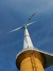
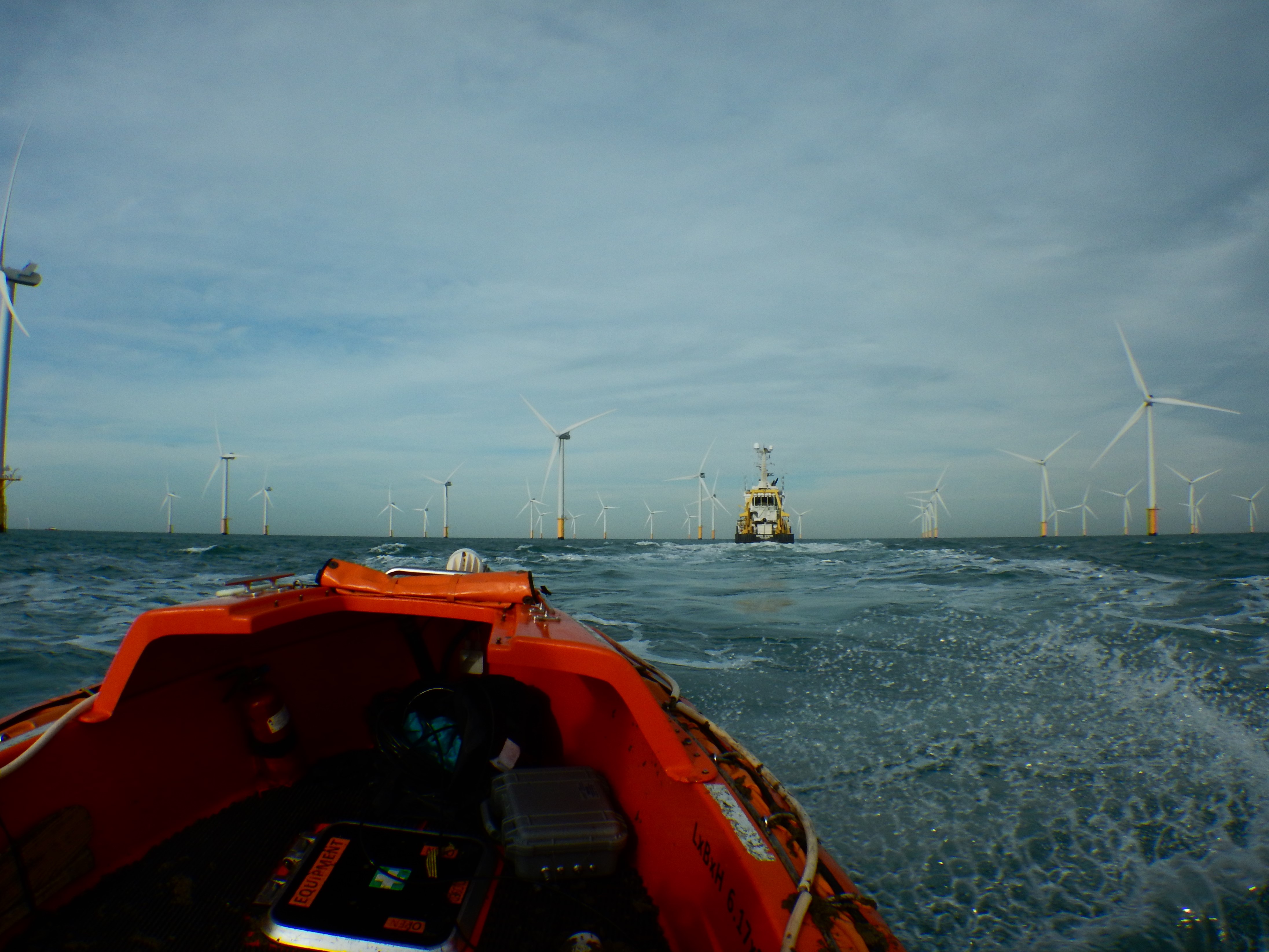
Offshore wind farm © RBINS

The population consequences of disturbance on a simulated Harbour Porpoise (Phocoena phocoena) population (chapter 8) were tested using 17 scenarios with and without various mitigating measures. The results of this study show that a combination of a seasonal pile driving restriction (when the porpoises are most abundant) and an acoustic deterring device was not enough to lower the impact on the porpoise population to acceptable values. These simulations also suggest that building a wind farm every year affected the harbour porpoise population more than building two wind farms at the same time.

For the first time in the North Sea, bat activity was studied at the height of the nacelle (at 94 m above the sea level) in wind turbines (chapter 9). Acoustic bat detectors were installed at four turbines in the Belgian waters. Several bat species are known to migrate long distances between summer and winter roosts, and to even cross the North Sea during their migration. The results indicate that the detections at nacelle height (in the center of the rotor swept area) were around 10% of the detections made at lower altitude (ca. 17 m above sea level), giving an indication of the activity of bats at different altitudes when crossing offshore wind farms. The observations however do not yet allow to make sound conclusions about the collision risk for bats, especially not in the lower part of the rotor swept zone.

More information:

This press release only describes the general monitoring framework of environmental effects in the Belgian offshore wind farms, and only focusses on some of the results. The complete report, as well as the older monitoring reports, can be consulted here.

Aerosol correction for high resolution satellite data

Satellite data are increasingly used in applications such as water turbidity mapping (important for aquatic organisms) and understanding sediment transport. The atmosphere however is highly variable due to the presence of aerosols, a mixture of tiny particles that impact satellite images through absorption and reflection of light. Hence, an atmospheric correction is essential before using the satellite data. In a new paper by Quinten Vanhellemont, researcher of the Operational Directorate Natural Environments (OD Nature) of our institute, a new atmospheric correction algorithm is presented for water applications of high resolution satellite data.

The Dark Spectrum Fitting (DSF) algorithm was developed in the PONDER project, funded by the BELSPO (Belgian Science Policy) Stereo III programme. This project aims to use data from very high resolution satellite sensors such as Pléiades to generate much more detailed information on water turbidity and sediment transport, but it is necessary to first develop a method for processing the images accurately.

Pléiades image of the port of Zeebruges and surroundings.

Removal of Aerosol Impact from Satellite Images

After selecting dark pixels in a satellite scene, the Dark Spectrum Fitting algorithm uses those to estimate the atmospheric aerosols. Thanks to the high spatial resolution of Pléiades, this method can retrieve high resolution maps of the aerosol distribution by using ground level object shadows. The application of the DSF to Pléiades imagery with a ground resolution of 2 m is presented, allowing the retrieval of high resolution turbidity and suspended sediments in and around the port of Zeebrugge.

Water turbidity in and around Zeebruges estimated from a Pléiades image after application of the Dark Spectrum Fitting algorithm. Note that the high turbidity zones were not visible on the initial satellite image.

Additional Uses

The Dark Spectrum Fitting algorithm has also been adapted for use on data generated by other satellites, notably Landsat and Sentinel-2, and has been distributed as the default algorithm in ACOLITE  for those satellites since April 2018. ACOLITE is the software for analysis and interpretation of satellite imagery, and was also developed by Quinten at the Royal Belgian Institue of Natural Sciences. A paper describing the adaptation and validation of the DSF to Landsat and Sentinel-2 is in preparation.

Marine mammals in Belgium in 2017

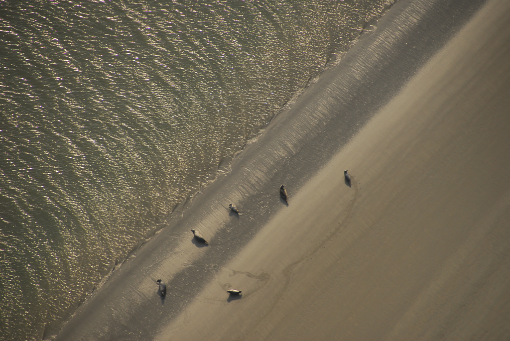
Our marine scientists summarise the available information on marine mammals in Belgium in an annual report. In addition to a discussion on the strandings and observations of marine mammals and remarkable fish in 2017, the latest edition also contains opinion pieces about Arctic climate refugees and the grey seal in our coastal waters.

Grey seal in the harbour of Nieuwpoort on 17 January 2017 (foto: T. Hubin/RBINS).

Harbour porpoises

In 2017, the number of stranded harbour porpoises more or less equalled the average of the past 10 years. “Predation by the grey seal and incidental catch were the most important causes of death we identified,” explains Jan Haelters, lead author of the new report. “Nearly 60% of the 93 harbour porpoises that stranded along the Belgian coast in 2017, died due to one of these causes.”

Other cetaceans

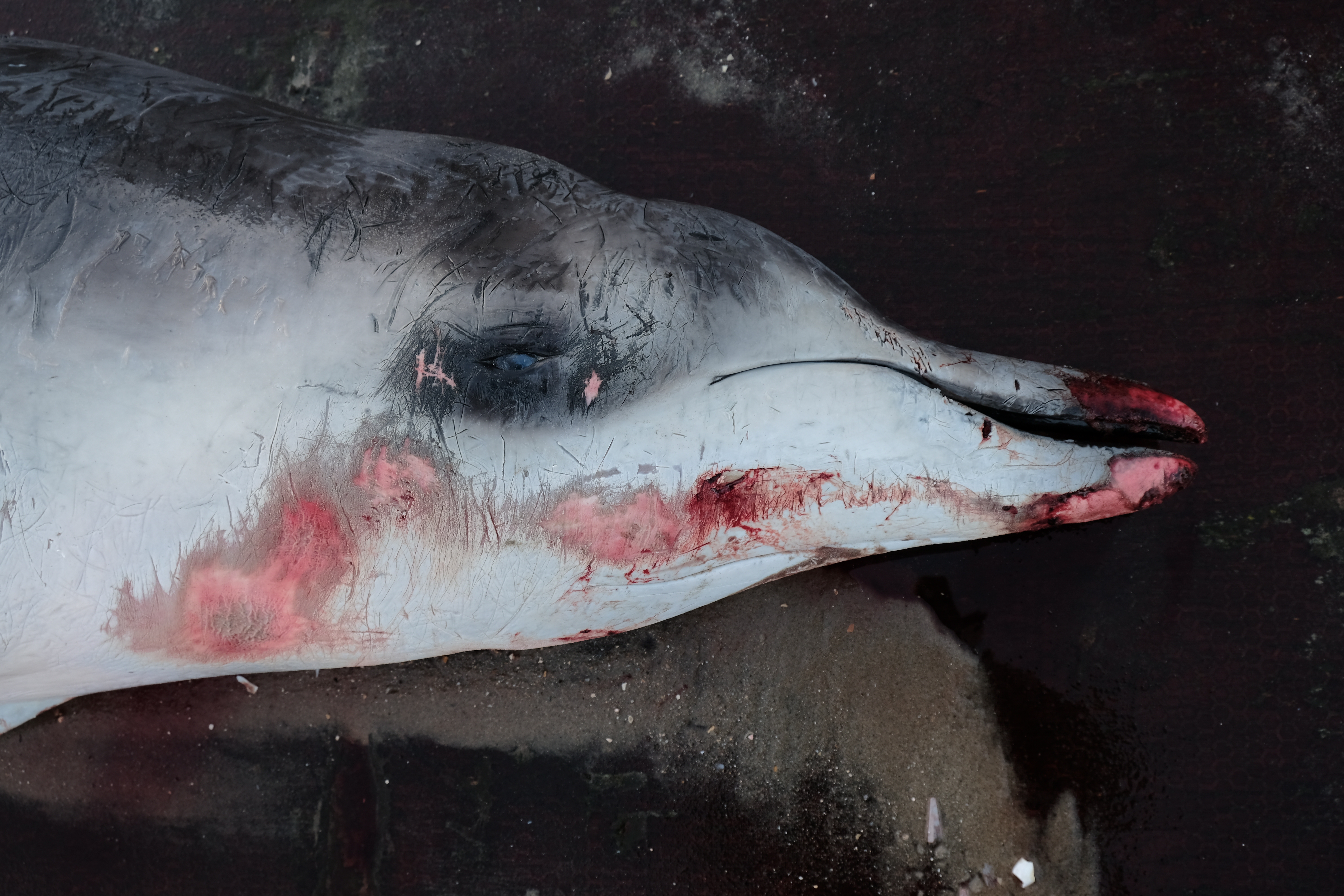
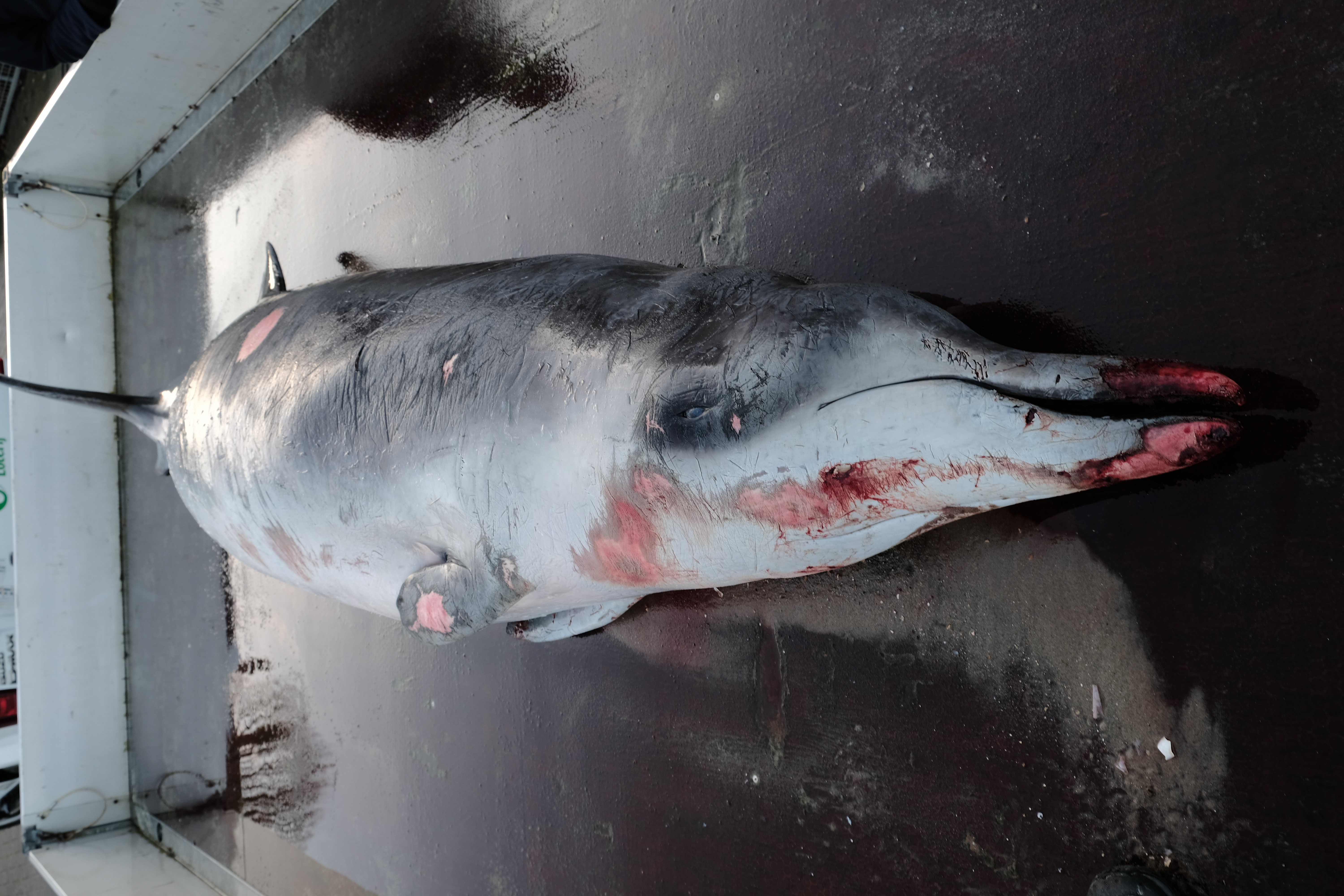
Two observations of white-beaked dolphins were documented in 2017, while bottle-nosed dolphins were reported more regularly. Also one deceased individual of both these species washed ashore. A dead minke whale floated through Belgian waters, and eventually washed ashore in the Netherlands.

Seals

With 10 common seals, 8 grey seals and 19 non-identified seals, the number of dead or dying seals exhibits a rising trend. Additionally, 22 common and 6 grey seals were taken into temporary care at SEALIFE Blankenberge. A remarkably high number of seals that had been injured by fishing hooks was observed in the port of Nieuwpoort.

A very unexpected visitor

The bowhead whale that stayed off the coastal towns of Ostend and Middelkerke on 31 March and 1 April was the first ever to be reported for the entire North Sea. Barely a year after the stranding of a narwhal, the sighting of this animal, of a species that inhabits very northerly waters, instigates a lot of speculation about the effects of climate change on marine life in the Arctic, and perhaps at a global scale.

This report describes part of the implementation of the Royal Decree on Marine Species Protection, and its production was only possible thanks to the support of many volunteers, other institutions and  coastal authorities. Interested readers can download the report at www.marinemammals.be/reports (available in Dutch and French, with English summary).

Belgian Coast Guard leading in the international fight against air pollution above the sea

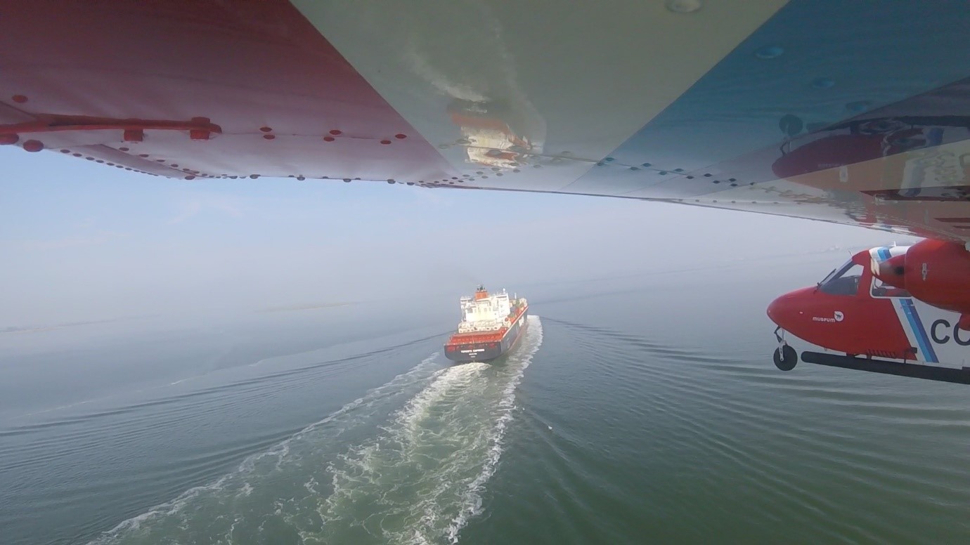
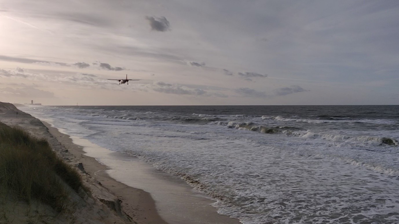
Since 2016, a so-called ‘sniffer’ sensor has been used onboard the Belgian Coast Guard aircraft to check for environmental and nautical violations. This sensor allows the sulfur content in the fuel to be derived on the basis of measurements made in the emissions of ships above the sea. This method not only enables more efficient monitoring of aspects of air quality over the sea, but also allows identification of potential offenders. In this context, international attention is increasingly directed at the Belgian example. In addition to the North Sea countries, it is currently mainly China that expresses its interest.

(c) RBINS/SURV

Air pollution by ships and the Belgian pioneering role

Air pollution, and its consequences for people and the environment, receives a great deal of attention in our media. Road traffic is particularly targeted, but often it is forgotten that shipping is also an important source of air pollution (and other forms of pollution). In this way, also sulfur dioxides in the emissions of ships burning sulfur-rich heavy fuels contribute to various public health and environmental issues (particulate matter, acid rain, climate change). The reduction of sulfur emissions from ships at sea is therefore the subject of international conventions (limit on sulfur content in the fuel laid down in the MARPOL Convention, the International Convention for the Prevention of Pollution from Ships), and is a European top priority (European Sulfur Directive). We have previously reported on the sniffer sensor that has been used on board the Belgian Coast Guard aircraft since 2016 to measure the sulfur emissions from ships above the North Sea (the levels of SO2 and CO2 are measured, from which the sulfur content in the fuel can be calculated). The Coast Guard aircraft, owned by the Royal Belgian Institute of Natural Sciences, thus contributes to the efficient enforcement of shipping, in collaboration with FPS Mobility. The unique pioneering role that Belgium plays has not gone unnoticed. For example, there is already active collaboration with the Netherlands and other North Sea countries are also considering to follow the Belgian example.

(c) RBINS/SURV

Intercontinental interest

But the international interest does not stop there! The Belgian performance and expertise also appeared on the radars of countries outside the North Sea basin and the EU. For example, our air surveillance operator Ward Van Roy was invited in September 2017 to present the Belgian pioneering work at an international meeting in the Canadian town of Cornwall (Ontario). The public consisted mainly of government representatives charged with tackling pollution from ships.

In June 2017, also a delegation from the Chinese Ministry of Transport visited the Belgian air surveillance team, to assess the possibility of applying the Belgian procedures in China. Like Europe, China is very much affected by air pollution, and the central Chinese government is now strongly committed to reducing the backlog in the fight against ship emissions. It attributed substantial resources to realise this catch-up movement, and set up three ‘Domestic Emission Control Areas’ (DECAs) around the busiest Chinese ports in 2016. The shipping inspection services were then instructed to tackle the environmental pollution from ships, and therefore the sulfur issue, in these DECAs. The Natural Resources Defense Council (NRDC), an NGO that aims to protect the earth (its people, its plants and animals, and the natural systems that life depends on), supports the Chinese government departments in building up the expertise needed to carry out the monitoring themselves in the future.

The three Chinese Emission Control Areas are located around the busiest Chinese port areas.

Learning from the Belgian experience

In early May 2018, Van Roy was invited by the NRDC and the China Waterborne Transport Research Institute (Department of the Transport Ministry) to discuss the regulation and enforcement of the emissions of ships in the DECA zones at a workshop in Shenzhen, China. The NRDC subsequently organized a workshop and media event in Beijing on 6 June 2018, also celebrating the second anniversary of the Chinese DECA implementation. Once again Ward Van Roy (together with the Dane Jon Knudsen) was selected to share his knowledge about the sulfur theme via teleconference, to explain the Belgian experiences, and to highlight the importance of the Chinese DECA implementation. “We assume that the messages from international experts can help China take more progressive actions and set up a robust monitoring program,” says Freda Fung of NRDC. “Furthermore, we hope that the foreign experiences will be inspiring, not only to further develop and implement the mandatory legal framework, but also to set up voluntary actions to further reduce the sulfur emissions from ships.”

Big in China

The media event was a great success! The Chinese journalists found it very valuable to hear directly from foreign experts how enforcement in their country is being dealt with, and whether new technologies to reduce the sulfur content of ships’ emissions work efficiently. “The Chinese media were also very enthusiastic about the fact that monitoring from the air can effectively be an important link in detecting emission violations at sea, and showed a great interest in the Belgian pioneering work”, says Van Roy. “A few leading Chinese newspapers (including People’s Daily) and many sector-specific media (about shipping, energy and transport), reported on the media event, and quoted the Belgian researcher with regard to various aspects of his story. Ward and the Belgian approach are now famous in China! “Freda adds.

“Ward Van Roy and Jon Knudsen have described in detail how the sniffer technology should be used to effectively monitor the emission of pollutants in the air by ships at sea.”

“Ward Van Roy also provided a clarifying explanation of the effect of desulfurisation scrubbers*, and the fact that they still contribute to pollution when the resulting wastewater is not collected and purified, but discharged directly.”

China Shipping Weekly, 06-07-18

“The international interest in the Belgian pioneering work gives us a great deal of satisfaction and extra motivation to proceed on the chosen way, both in relation to our work assignment and fed by our concern for the quality of our environment, of which air quality is also an important part.” Van Roy concludes.

(c) RBINS/K. Moreau

Future perspectives

In the meantime, the scientists of the Belgian air surveillance team are looking into the possibilities to expand their expertise with the measurement of nitrogen compounds in the emission of ships at sea, for which stricter standards will apply from 2021 onwards. They also continue to inform other North Sea countries and the European Commission about the usefulness of ‘sniffer’ flights above the sea, hoping that the practice will be extended not only to China but also around the North Sea (and to other European sea areas) in the coming years.

* Scrubbers are installations in which water removes unwanted pollutants from a gas flow. When that water is not collected after treatment, it is called an ‘open system’, in the other case a ‘closed system’.

Scientific cruise to Svalbard with RV Oceania

Scientific research on the North Sea or on the Arctic Sea, the similarities are striking! Passionate scientists want to understand how the sea works to be as well prepared as possible for the changes that the world is experiencing. A report of 9 days on board of the Polish oceanographic research vessel Oceania.

RV Belgica and RV Oceania

Just like Belgium, Poland has its own research vessel. The three-master RV Oceania is property of the Polish Institute for Oceanographic Research (IOPAN) and has approximately the same age (°1985) and length (just under 50 m) as our own RV Belgica. The vessel is mainly used for scientific research in the Baltic Sea. Once a year, however, it leaves for the far north to study the impact of climate change on the Arctic Sea in the fjords of Svalbard. From Wednesday 26 July to Friday 4 August 2017, the 24 Polish crew members were accompanied by a Canadian journalist, and the Belgian science communicator Sigrid Maebe.

Scientists and crew of RV Oceania during AREX 2017

The RV Oceania captain, Piotr Woźniak, knows our RV Belgica well. In the nineties he took part in the festivities of the Belgian Navy in Zeebrugge, where his military vessel docked next to RV Belgica. Also when the 100th anniversary of the scientific expedition of the old Belgica to Antarctica was celebrated, in 1997 in Antwerp, he visited our research vessel. Both vessels are very similar, but the fact that RV Oceania is a sailing ship, and therefore has a narrower hull, leads to a tighter barge.

RV Oceania is equiped with all possible equipment to take water samples, collect organisms (plankton in the water column or benthos on the seabed), or to optically characterise the water colour which allows to determine the properties of the water. Due to the limited space, the Polish scientists can only collect samples and freeze or fix them, but they cannot study them on board. Later, on land, they will need half a year to a year to analyse all the samples of this campaign.

Research in Hornsund fjord

For this scientific cruise ‘AREX’2017’ (Arctic Expedition 2017), RV Oceania left Poland mid-June, to sail all along Norway to the island group of Svalbard. At the end of August, 80 days later, the vessel will arrive back in Poland with hundreds of samples and measurements. Then the number “30”, which is painted next to a polar bear on the side of the vessel, will also be changed: the 31st voyage of RV Oceania to Svalbard will be completed!

RV Oceania in Hornsund Fjord
The 31st RV Oceania trip to Svalbard is almost completed

I boarded RV Oceania in Longyearbyen, the capital of Svalbard, for a 9-day scientific cruise to the Hornsund Fjord. The aim of this part of the journey was to investigate how far the influence of the Atlantic Ocean in this fjord in the southern part of Svalbard can be felt. The Hornsund Fjord is actually the first area where Atlantic water from the south enters the Arctic Sea. Year after year, the chief scientist Sławomir Kwaśniewski sees the Atlantic water penetrate deeper into the fjord, while the seawater gets noticably warmer. The plankton community is also shifting: Atlantic species of copepods, jellyfish and sea gooseberries are more often observed in the fjord. The entire ecosystem changes with the supply of this warmer water. The scientists are therefore very happy when they also find real Arctic species in their plankton net. This annual survey by the IOPAN Institute provides a long time series with measurements and analyses that are indispensable for understanding the effects of climate change.

Multinet to collect plankton samples at different depths
Gelatinous plankton

Polar Station

The Polish government also has a research station on land in Svalbard: the Polish Polar Station, also in the Hornsund fjord. It is a magical place, but walking in the neighbourhood is not possible without a firearm because you always have to be prepared for a meeting with a polar bear (Ursus maritimus)! During the summer months, about 30 scientists and technicians are stationed here, in the dark winter months only a dozen. They investigate the glacier that is actually in their backyard. Furthermore, they constantly measure the magnetic radiation and meteorological conditions of the area and study the living conditions and the eating pattern of the colony of little auks (Alle alle, a funny flying seabird species).

Polish Polar Station in Hornsund Fjord

The two “paparazzi”, as the journalist and I were laughingly referred to, were allowed to go ashore for one day to get to know the scientists Danek and Kasia. That morning they checked the batteries of the cameras that were placed at the nests to register how the parents come to feed the chicks. The chicks themselves are under a pile of stones and you cannot see them on the camera images. In the afternoon, the researchers caught a number of adult birds to collect food samples. For this, they “spoon” the freshly caught plankton from the crop of the little auks. Apparently the chicks are mainly fed with a certain larval stage (stage 5) of the plankton species Calanus glacialis. It is unbelievable how these birds, under water, can distinguish the different plankton stages. And also aim well enough to catch them!

Little auks with cameras pointed at their nests

RBINS-researchers

In the station I also met Alexandra, who studies several glaciers in the Hornsund fjord with a sonar. She spends hours in a small boat, right next to the glacier, in order to get a ‘picture’ of the part of the glacier that is submerged, using sound waves. Alexandra is Polish, lives and works in Italy and knew the work of a number of OD Nature colleagues (Vera Van Lancker and Giacomo Montereale Gavazzi) who do similar research with sonars, but targeting the bottom of the Belgian part of the North Sea. Joana, who came on board for the next part of the cruise, also had good contacts with RBINS scientists who study crustaceans (Claude De Broyer and Cédric d’Udekem d’Acoz). And so the good reputation of the RBINS researchers, also so far from home, is proven again!

Polar bear, whales, plankton

Apparently we were very lucky during the 9-day trip. This was partially due to the beautiful weather (sun, little wind, and a nice 5 ° C). The weeks before there was only fog in the fjord and heavy wind on the high seas, making it difficult to collect samples and completely hiding the overwhelming view! We also saw a polar bear in one of the smaller bays. He had feasted on a large prey, the remains of which were still on an ice floe. It was a mighty sight: a polar bear that slipped from an iceberg into the seawater and – surprisingly quickly – swam away from us, moving his head from left to right, as if he wanted to smell how far or near the human danger was. Even the seasoned Svalbard scientists were happy with this unique encounter!

Polar bear

In the fjord a humpback whale (Megaptera novaeangliae) revealed its presence twice. He had found a place in the fjord, close to a glacier, that was teeming with nutritious plankton. So why move?

Humpback whale

More whales were spotted in the high seas (1000 meters deep!), where we carried out continuous optical measurements in the water for 48 hours. How fine it was to collect water samples at 3 o’clock in the morning, and hear and see how whales or dolphins pass by our ship! It was quite a challenge to force myself to go to sleep in the evening, and risk missing beautiful sceneries and whales. The pros and cons of the eternal Nordic sun at this time of the year!

Collecting water samples on the high seas

Unspoiled nature?

The life on board of RV Oceania was strikingly similar to that on board of RV Belgica (except the Polish language, that is a big challenge!). Fresh soup every day, an ice cream every now and then, small but cozy cabins, and every day the challenge to take a shower and get dressed in small spaces that move from front to back and from left to right … The big difference only becomes obvious when you are outside, on the deck. No grey horizon full of ships on one side, and coastal apartment buildings on the other. On the high seas you only see a grey horizon without ships, while the fjords feature incredibly beautiful sunlit views of hills and mountains, eternal snow and the not so eternal glaciers. The glaciers are getting smaller at a terrifying speed. The sea charts in the bridge of RV Oceania were updated in 2014, and again turned out to be no longer correct! Shocking to realise how untouched nature changes as a result of the ill-considered behaviour of people thousands of miles away …

The images of fantastic surroundings, mountains, glaciers, birds, plankton, whales and the polar bear are forever imprinted in my memory and I will continue to encourage people to learn to understand climate change and take it seriously! Do not hesitate to join us!

Text and images: Sigrid Maebe

More information on IOPAN, RV Oceania, and the research they are involved in can be consulted here. RV Oceania will leave Poland for ‘AREX’2018’ – the 32nd voyage of RV Oceania to Svalbard – on 14 June 2018, only to return on 29 August (schedule of RV Oceania in 2018).

Also read the story of the Canadian journalist Hannah Hoag.

Aerial Surveys over the North Sea in 2017

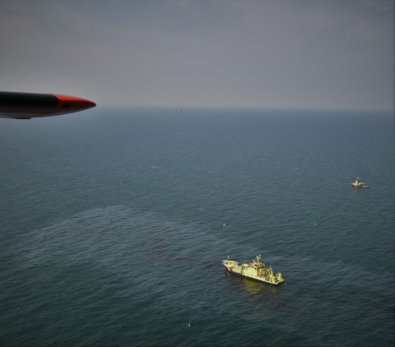
A total of 222 flight hours has been performed at sea in the framework of the Belgian North Sea aerial survey programme in 2017. In and nearby the Belgian marine areas 11 spillages were observed, of which 10 operational slicks and one accidental spill. During the sulphur emission control flights at sea 49 ships were detected with a high fuel sulphur content. During an international mission for the detection of spillages in the central part of the North Sea where the offshore oil and gas platforms are located, 26 other oil spills were detected. The Scientific Service Management Unit of the North Sea Mathematical Models of the Royal Belgian Institute for Natural Sciences, is responsible for the aerial surveys over sea in Belgium.

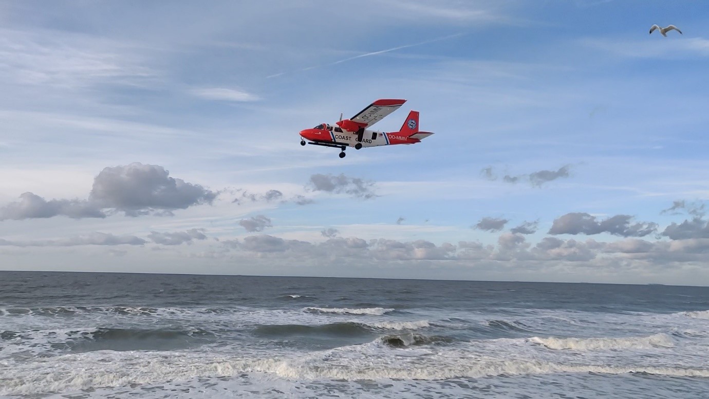
The Belgian surveillance aircraft. © RBINS/K. Moreau

In 2017 a total of 222 flight hours has been performed at sea in the framework of the Belgian North Sea aerial survey programme. Of these flight hours, 187 were performed in the framework of the Belgian coastguard in and nearby Belgian waters, 19 were spent on an international mission for the detection of spillages near oil and gas installations in the central part of the North Sea (the so-called Tour d’horizon mission), and 16 were used for marine mammal monitoring. Of the 187 coastguard hours, 40 were spent on fishery control, two on joint coastguard missions, and 145 on pollution control (MARPOL enforcement at sea). In the last category, 80 hours were specifically dedicated to sulphur emission control flights, and 65 hours to the control of deliberate discharges of oil and other harmful substances.

Operational Discharges

In 2017 a total of 10 operational ship discharges were detected:

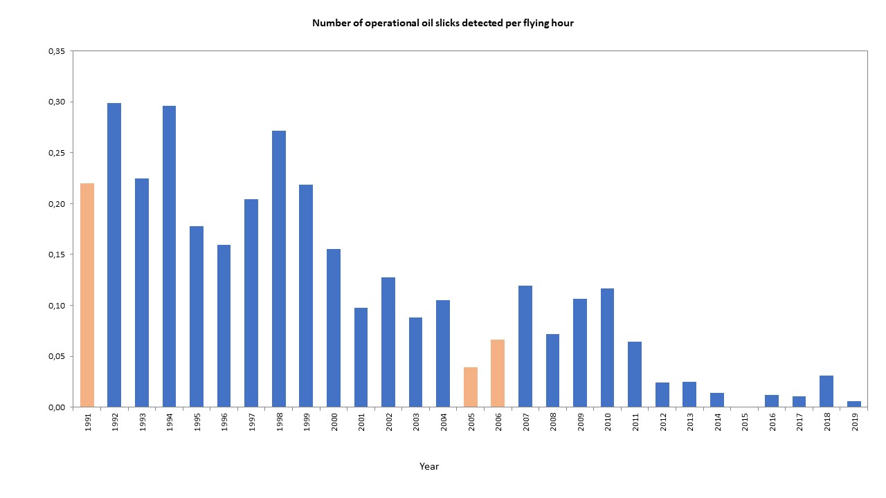
  • In two cases an oil slick was detected. Both slicks consisted of minor volumes with a limited impact for the marine environment. This result is in line with the trend observed in recent years, of a systematic reduction in annually observed operational oil discharges.

    Number of operational oil spills observed per flight hour. © RBINS/SURV
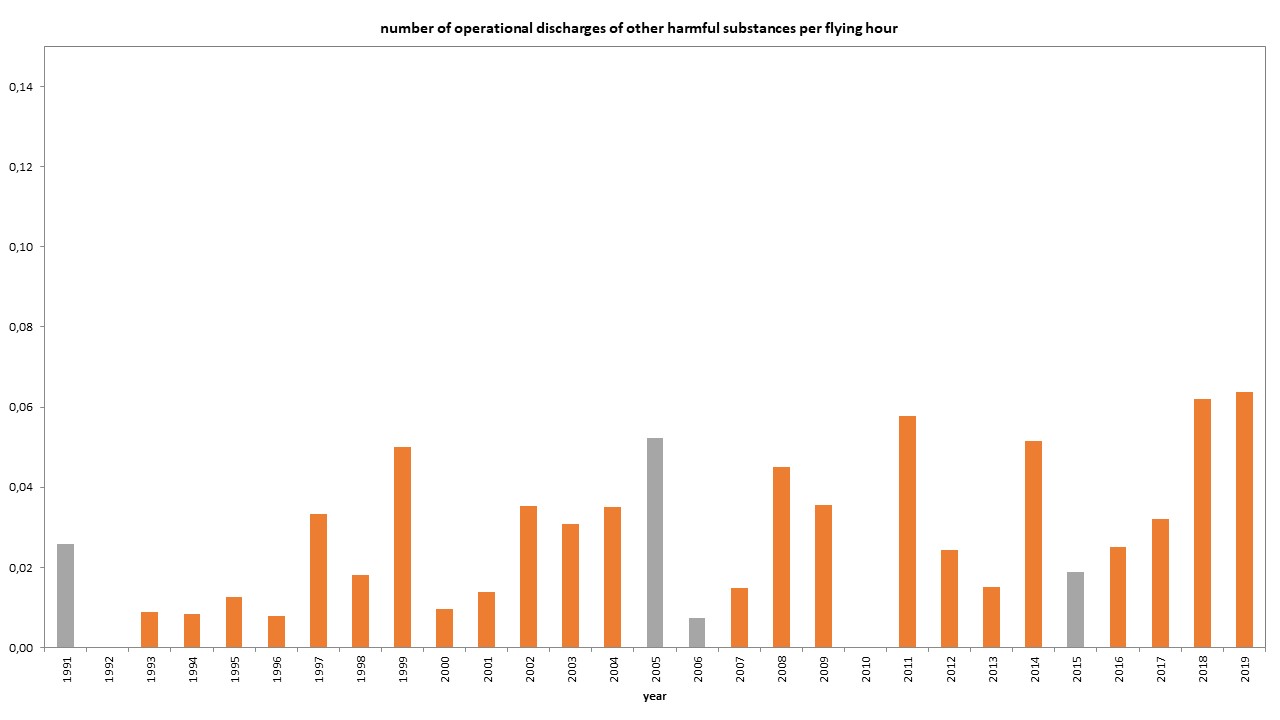
  • In five cases another harmful substance than oil was detected. Only once however a link could be made with a vessel; it concerned an alleged MARPOL Annex II violation in British waters. The alleged violation was reported to the British authorities for further follow-up. In the four other cases no ship was found in the vicinity of the slicks.

    Number of operational contaminations by other harmful substances observed per flight hour. © RBINS/SURV
  • In the three remaining cases it was impossible to visually verify the substance of the slick due to darkness or bad visibility.

Accidental Marine Pollution

In 2017 only one accidental oil pollution was detected. It concerned oil which got accidentally released from the ‘Fluvius Tamar’ wreck which sunk in January in nearby British waters. The Belgian surveillance aircraft furthermore also performed aerial monitoring of other shipping incidents in and nearby Belgian waters. Luckily however no further accidental marine pollution was observed:

  • Following a collision between the bulk carrier ‘Coral Opal’ and the tanker ‘Silent’ in June 2017, the aircraft performed an aerial monitoring flight on site but no pollution was detected.
  • In August 2017 another flight was carried out following an alert of the Blankenberge beach rescue service about a small weathered heavy fuel oil slick observed in nearshore waters. During this flight a large part of the coastal waters was scanned but no oil could be found. The initially reported patches of heavy fuel were thought to be weathered oil remains from the ‘Flinterstar’ incident (2015), which probably got trapped in the seabed and were accidentally released in the summer of 2017 due to works near the port of Zeebrugge.
  • A third aerial monitoring flight was performed following the stranding of the tanker ‘Seatrout’ in the Western Scheldt near the turn of Bath in September 2017, but again no accidental pollution was detected.

    The Seatrout is pulled from a sandbank in the turn of Bath (Western Scheldt) by tuggers. © RBINS/SURV

Sulphur Emission Monitoring

The 80 hours spent monitoring sulphur emission compliance at sea were spread over 51 so-called ‘sniffer’ flights. In this way, the sulphur content in the smoke plume of 870 ships was effectively monitored. 49 of these ships showed suspiciously high sulphur values, and were systematically reported to the competent maritime inspection services for further follow-up in port (‘Port State Control’).

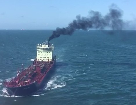
Atmospheric pollution due to sulfur emissions from ships is of growing importance in air surveillance. © RBINS/SURV

International Mission (Tour d’Horizon)

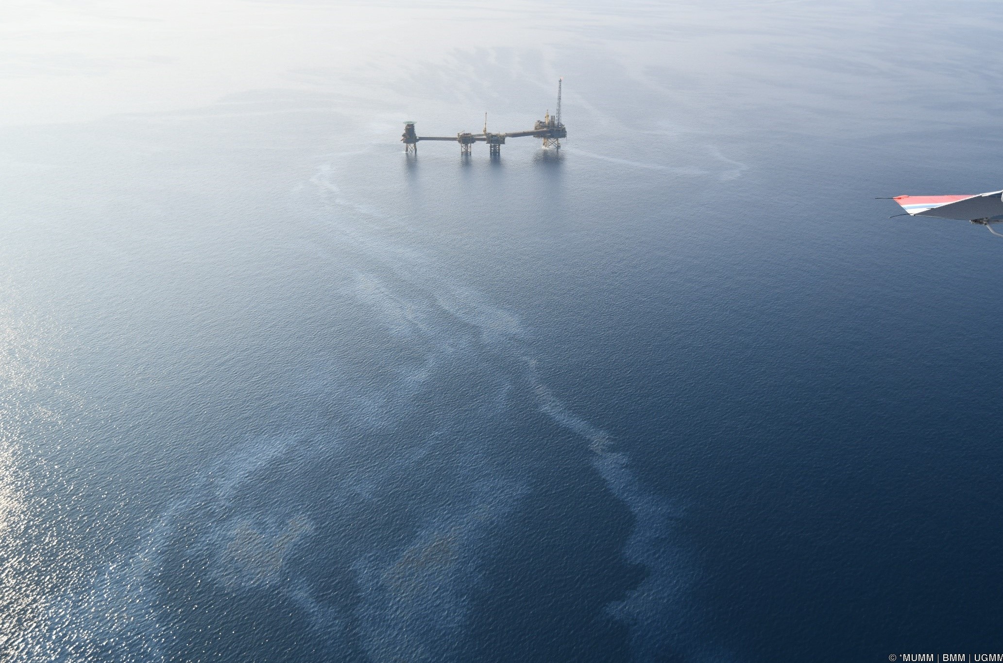
During the annual international campaign for the detection of spillages in the central part of the North Sea where the oil and gas installations are located, executed in the framework of the Bonn Agreement, 26 oil slicks were detected, of which 22 were connected to platforms, and four were found at sea, without a clear link to a platform or ship. All findings were reported to the competent authorities of the affected coastal States.

Pollution in Belgian Ports

During transit flights in 2017, two oil slicks were detected in the Port of Antwerp. These findings were immediately reported to the competent port authorities for follow-up.

Conference on Marine Sands, June 1st 2018 (10-16h). Museum of Natural Sciences, Brussels

The Royal Belgian Institute of Natural Sciences, Ghent University, Geological Survey of the Netherlands and FPS Economy have the pleasure of inviting you to the conference ‘Marine sands as a precious resource’. During this conference you will get the opportunity to get acquainted with a newly developed decision support system guiding long-term sand extraction in the Belgian and southern Netherlands part of the North sea. The consortium will guide you through the origin, distribution and dynamics of marine sands to inform on resource exploitation in a more sustainable way. Throughout the conference interactive demonstrations will be held on the newly developed tools: volumetric 3D pixel (‘voxel’) models, numerical impact models accounting for geological boundary conditions, a geological data portal and the resource decision support module. A Virtual Reality side event is also foreseen. Free participation, but register before May 26. E-mail to vvanlancker@naturalsciences.be.

Project info

Conference invitation

Environmental impact of offshore windfarms in Belgium

To monitor the ecological impact of wind turbines at sea, our institute coordinates an extensive monitoring programme that detects the environmental effects. The programme is fully operational since 2008. A new report that describes the most recent results, has just become available.

As of 2016, 232 wind turbines are operational in the Belgian Part of the North Sea, with a total capacity of 870 Megawatt. To reach the national target of the production of 13% renewable electricity by 2020, the number of wind turbines in this area is planned to rise to 500. Together these will have a capacity of 2200 Megawatt, covering up to 10 % of the total electricity needs of Belgium. With 238 km² reserved for offshore wind farms in Belgian waters and 344 km² in the adjacent Dutch Borssele area, ecological impacts are inevitable.

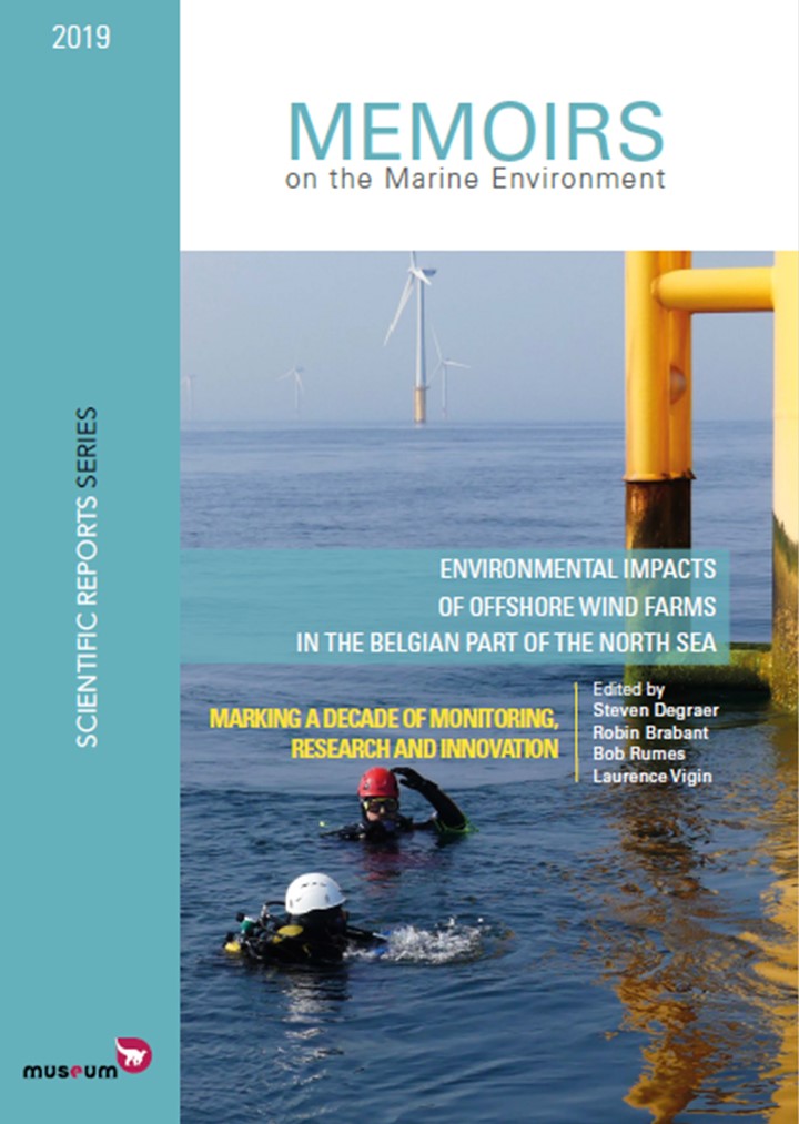
Cover of the new monitoring report (Image KBIN)

The Royal Belgian Institute of Natural Sciences coordinates the monitoring, and specifically covers hydro-geomorphology, underwater noise, hard substrate invertebrates, radar detection of seabirds, marine mammals and socio-economic aspects. For soft substrate invertebrates, fish and seabirds, the programme relies on the additional expertise of Ghent University, the Institute for Agricultural and Fisheries Research (ILVO) and the Research Institute for Nature and Forest (INBO).

Due to the size of the area and the multitude of disciplines, comprehensive monitoring of the ecosystem in the wind farms remains challenging. The scientific follow-up focuses mainly on the disciplines that provide the most relevant information for the management. To safely differentiate between natural and anthropogenically induced variability, the programme is continuously being optimised.

The national research vessel Belgica plays a major role in the monitoring of the environmental impact of wind farms (Photo Jorn Urbain/Belgian Navy)

Some remarkable results from the new report

Numbers, densities and biomass of invertebrates and fish living on or associated with the sea floor: the results indicate that the soft sediment ecosystem in between the turbines (at distances > 200 m) has not changed dramatically five to six years after construction, and that species assemblages within the offshore wind farms are mainly structured by temporal variability playing at larger spatial scales (e.g. temperature fluctuations, hydrodynamic changes, plankton blooms). However, plaice seems to be positively affected by the offshore wind farms. This could possibly be linked to locally increased food availability and/or the exclusion of fisheries inside the wind farms.

Biodiversity of natural hard substrates (e.g. gravel beds) versus artificial substrates (e.g. turbine foundations and scour protection): as natural hard substrates harbour a much higher species number and also more unique species than the artificial substrates, it seems that artificial hard substrates cannot act as equal alternatives for the loss of natural hard substrates.

Research into the effect of piling noise on cod (Photo Annelies De Backer/ILVO)

Impact of underwater noise caused by pile driving activities on fish and marine mammals: in a field experiment with caged cod, the scientists detected a steep increase in swim bladder injuries with decreasing distance from the sound source. Additionally, many internal bleedings and a high degree of abnormal swimming behaviour were observed after piling, all hints for a reduced survival rate in the long term. With the current sound limits applicable to Belgian waters, negative effects of this type of underwater noise can occur in fish within a radius of 750 m from the pile driving location. During piling, harbour porpoise detections decreased by up to 75% up to 20 kilometre from the location of the piling event. Simultaneously, porpoise detections nearly doubled at larger distances, which may be due to active attempts of these animals to escape from the underwater noise.

Great black-backed gull in offshore windpark (Photo Nicolas Vanermen/INBO)

Presence and behaviour of birds: Four species were shown to avoid the wind farm on the Thornton-bank (northern gannet, little gull, black-legged kittiwake and common guillemot), while three others (great black-backed gull, herring gull and sandwich tern) proved to be attracted. When zooming into the behaviour of some species, a continued study of the observed shifts (e.g. decrease of the time spent flying, foraging on fauna growing on the foundations) may shed a new light onto the anticipated collision risk of large gulls with wind turbines. Besides seabirds, also large numbers of non-seabirds are known to migrate at sea. As the victims disappear in the water and cannot be counted, a bird radar is used to unravel the migration patterns. In the future, the recorded bird fluxes will be analysed with an explanatory model, and the collision potential will also be estimated for such birds.

Grey seals versus men

Over the past weeks, horrendous messages appeared in the press about grey seals that ‘shall’ attack swimmers along our coastline. Some nuancing is required.

Grey seal, 23 January 2007 (copyright KBIN)

Those that followed the media over the last two weeks must have noticed it : newspapers, websites and news programs on TV and radio warned for grey seals, which were portrayed as murderous creatures that make our beaches and coastal waters unsafe and will soon start violating tourists.

It all started with an article in La Dernière Heure (DH) « Il va y avoir des attaques de phoques en Belgique » (« There will be attacks of grey seals in Belgium »; Wednesday 9 August), based on an interview with our science communicator Kelle Moreau. Also the front page of the paper unequivocally and alarmistically advertised: « Alerte aux phoques tueurs à la côte belge » (« Warning for killing seals along the Belgian coast »). Het Laatste Nieuws (HLN) copied the message (« Seals will attack swimmers at the coast »), be it in a drastically reduced form in which particularly the sensation remained. Subsequently, the unfortunate message was spread widely, both by the French and the Dutch-speaking press.

Grey seal and a dog that is allowed too close, 14 March 2017 (copyright Roland François).

We want to nuance a number of things :

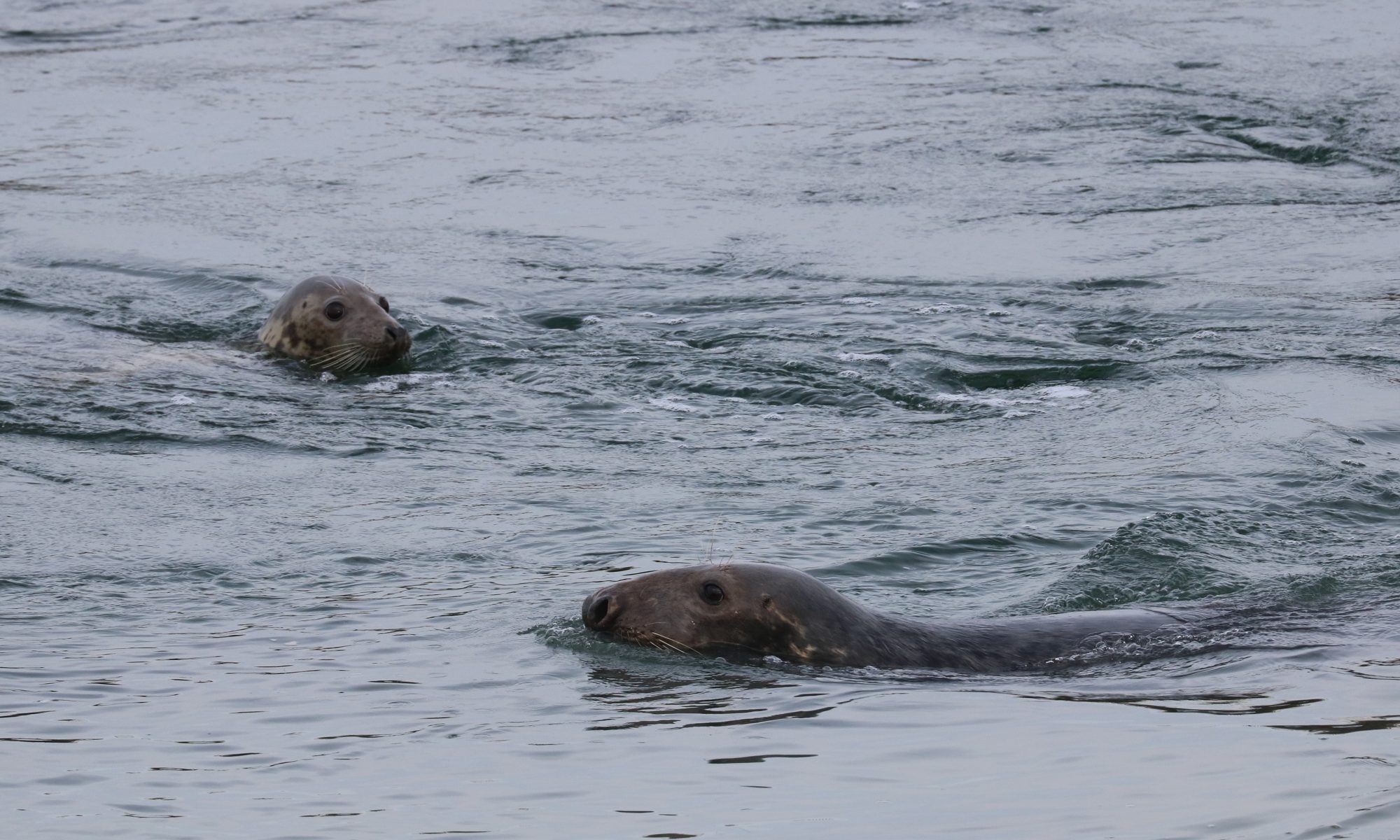
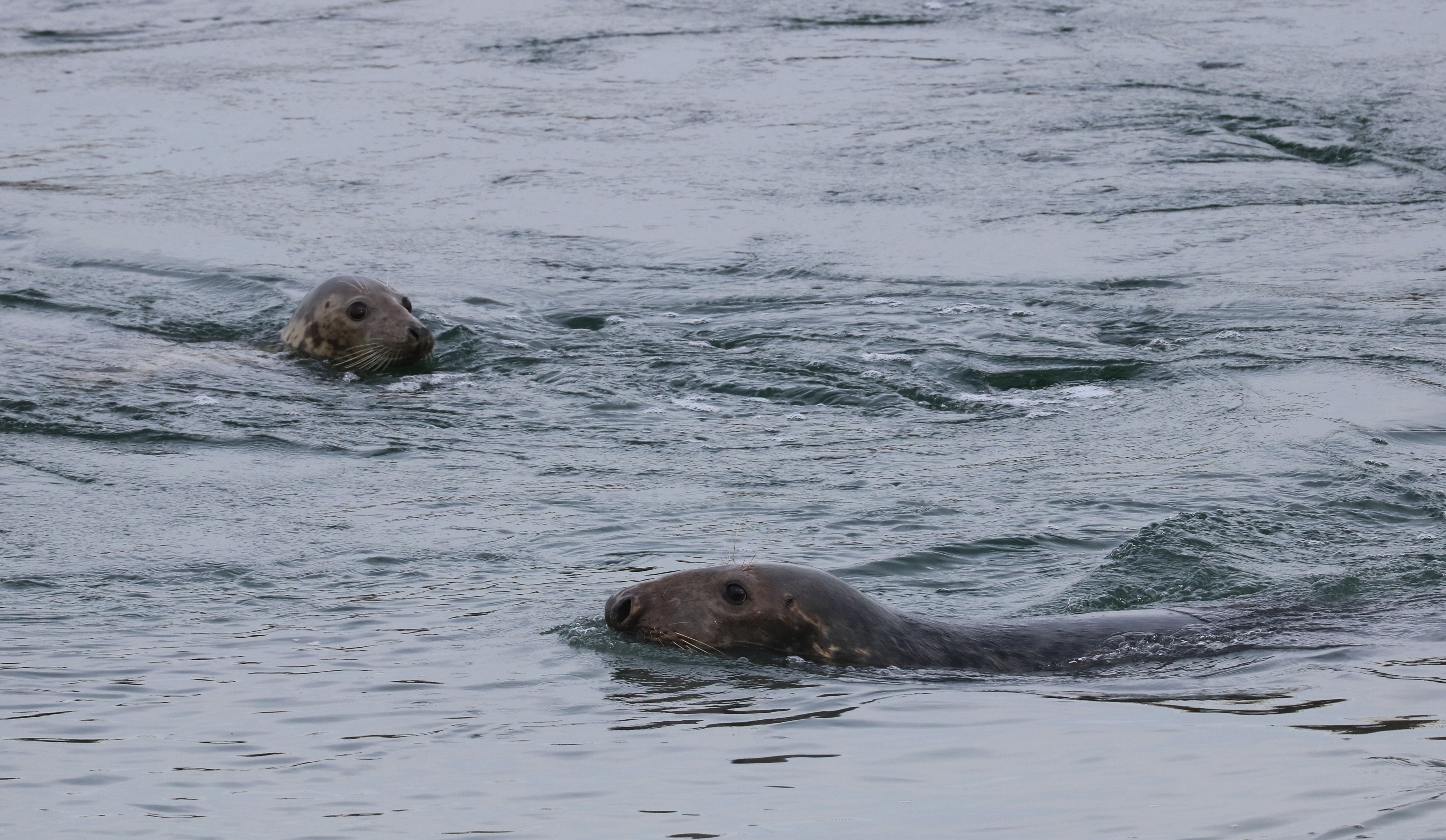
The intention of the article in La Dernière Heure was to inform about the strandings of marine mammals and rare fishes on the Flemish beaches in 2016. Predation by grey seals was mentioned as one of the causes of death of stranded harbour porpoises, in the context of which the journalist asked whether it can be excluded that a grey seal would ever attack a human being. Our science communicator responded that such an event cannot be excluded, but that such cases would rather qualify as accidents rather than manifestations of aggression or attempted predation. Grey seals are big and strong animals, with substantial teeth and claws, that could easily wound a human being as a consequence of « disturbance » (of a resting animal on a beach, a mother with cub, …), « confusion » (a foraging animal in turbid water may mistake a human being for something else?) or even of playful behaviour. However, our biologists believe that the chance of such an interaction with a grey seal in our waters remains very small (but exists), and that panic is unnecessary. We must definitely not avoid our coastal waters and beaches, and the grey seal is absolutely not an unwanted guest on our coast. The only message is that we should realise that grey seals are predators, that we should have a healthy respect for these animals, and best leave them alone.

Grey seal and swimmer (copyright Diederik D’Hert)

The fact that grey seals have harbour porpoises on their menu was also shown for the first time by researchers of our institute, after a few porpoises washed ashore in 2011 with wounds that – after analysis – appeared to have been inflicted by grey seals. Initially, this news caused great disbelief. Only after confirmation by analyses of foreign scientists, this new phenomenon was widely accepted.